Sea level
Palestine /
Arihha /
Aqbah Jabbar /
World
/ Palestine
/ Arihha
/ Aqbah Jabbar
, 6 km from center (عقباة جبر)
World / Palestinian territories / West Bank
signboard, tourist attraction
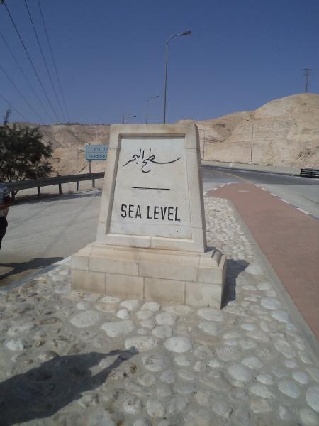
Wikipedia article: http://en.wikipedia.org/wiki/Sea_level
Nearby cities:
Coordinates: 31°48'7"N 35°24'13"E
- Mosaics information board 55 km
- Ground Markings : "Y" and "Figure Eight" Shapes 337 km
- Ground Markings 346 km
- Ground Markings: "Y" and Figure-Eight 468 km
- Venetian Fortress Rocca a Mare signboard 1030 km
- Ellinikon ad 1248 km
- Acropolis Museum Opening Hours 1266 km
- Turkish flag with the text "Önce Vatan. Komando (Motherland first. Commando)" 1267 km
- Mbandaka Equatorial Signboard. 3976 km
- vous franchissez l'equateur Sign 4416 km
- Hurkania valley 7.3 km
- Megilot 22 km
- Judea and Samaria ("West Bank") 23 km
- Mateh Binyamin 23 km
- Gush Etzion 25 km
- Bik'at HaYarden 32 km
- Judea 33 km
- Judaean Desert 35 km
- The Dead Sea 49 km
- Jordan Valley 50 km