State Agency of Ukraine on the Exclusion Zone Management (Chornobyl)
| public institution, 1977_construction
Ukraine /
Kyyivska /
Chornobyl /
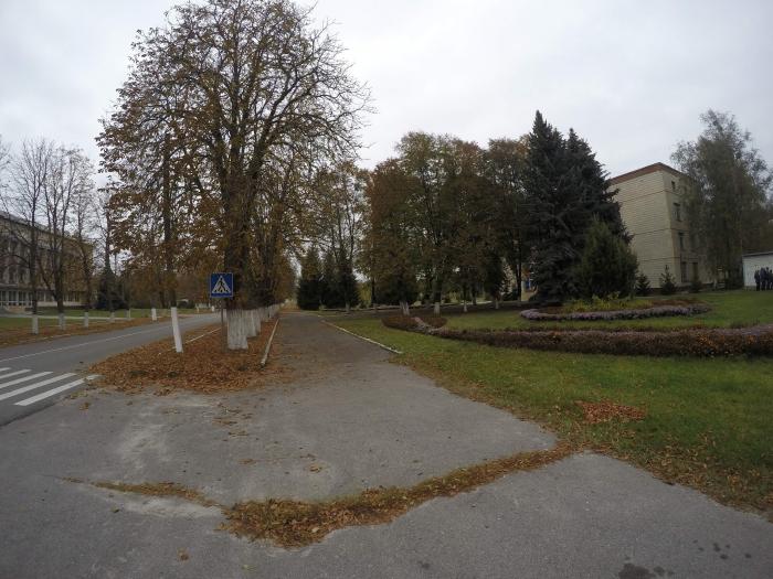
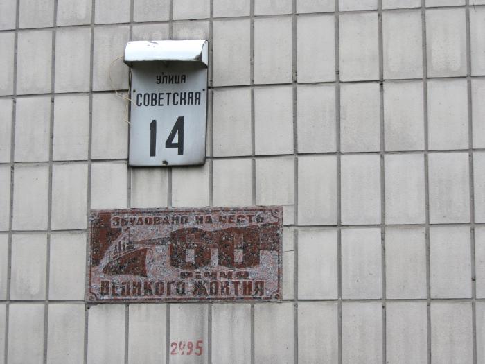
ul. Radziecka
World
/ Ukraine
/ Kyyivska
/ Chornobyl
, 1 km from center (Чорнобиль)
public institution, 1977_construction


Nearby cities:
Coordinates: 51°16'28"N 30°13'46"E
- ProZorro.Sale 93 km
- State Committee for Television and Radio Broadcasting of Ukraine 94 km
- The State Emergency Service of Ukraine 94 km
- Ukrainskyi Dim ('Ukrainian House') 94 km
- State Service of Special Communication and Information Protection of Ukraine 96 km
- vulica Puškina, 5 139 km
- Rumyantsevs'-Paskeviches' palace 139 km
- State Inspection of Agriculture in Zhytomyr Region 158 km
- State Inspectorate for Quality Control of Drugs in Zhytomyr region. 158 km
- Territorial State Labor Inspectorate in Zhytomyr region 158 km
- Shipyard 1.2 km
- Graveyard 1.3 km
- Backwater 1.4 km
- Treatment plant 1.5 km
- Zalissia 4.2 km
- Former Collective Farm 5.3 km
- 'GSP Technocenter' base 5.8 km
- The kalininskoe gremovo tract 7.4 km
- Forest 12 km
- Chornobyl Exclusion Zone 22 km