Ari n' Msadrid
Morocco /
Souss Massa-Draa /
Tinghir /
World
/ Morocco
/ Souss Massa-Draa
/ Tinghir
, 75 km from center (تنغير, تينغير)
World / Morocco / Meknès - Tafilalet / Errachidia / Imilchil
mountain, nature conservation park / area, massif, invisible
Part of the aspired nature conservation area "Haut Atlas Oriental",which bank from Izlane to Ari n' Aberdouz
(3059 m.)
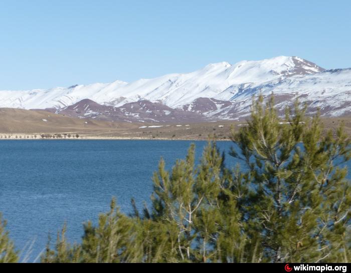
1.photo from region of Tighadouine
2.photo from Lac Tislit to Ari n'Tarirecht
www.panoramio.com/photo/38272734
(3059 m.)
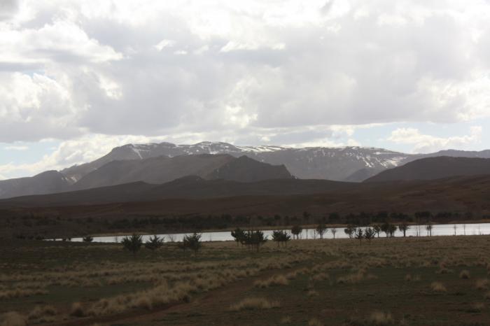
1.photo from region of Tighadouine
2.photo from Lac Tislit to Ari n'Tarirecht
www.panoramio.com/photo/38272734
Nearby cities:
Coordinates: 32°11'48"N 5°30'54"W
- "Park of the Barbary sheeps" 20 km
- Tazekka National Park 245 km
- Afrag Anamur n Sus Massa 459 km
- Doñana National Park 563 km
- Park Kheneifis 809 km
- Regional park of Gredos 911 km
- Serra da Estrela Natural Park 963 km
- Coast of the Seals 1611 km
- Banc d'Arguin National Park 1668 km
- Bui National Park 2619 km
- Lotah 3 km
- Izlan 6.9 km
- Ari n' Issoual 7.7 km
- Ari n' Lest 10 km
- Azaghar-Rirs 12 km
- "Park of the Barbary sheeps" 14 km
- Ari n'Fazzaf 15 km
- Ari n'Taletast 21 km
- Ari n'Ouirarassen 28 km
- Arhembou n'Ououzz 35 km