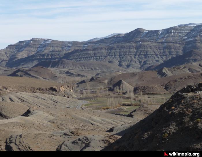
Ari n'Taletast
Morocco /
Souss Massa-Draa /
Tinghir /
World
/ Morocco
/ Souss Massa-Draa
/ Tinghir
, 69 km from center (تنغير, تينغير)
World / Morocco / Meknès - Tafilalet / Errachidia / Imilchil
mountain, invisible
hena fach kaykounou esraha dyal ayt 3li wikou ou messakn kaytekrfsou bezaf be chta ou el berd
Nearby cities:
Coordinates: 32°6'28"N 5°18'49"W
- Ari n' Aberdouz 18 km
- Ari n' Msadrid 30 km
- Ari n'Maasker 37 km
- Ari n'Maoutfoud 49 km
- Jbel Ayachi 58 km
- Jbel Bou Hamid 62 km
- Ari n' Ouaoumatert 99 km
- Jebel Bou Dahar 177 km
- Adrar Bou Iblane 209 km
- Jbal Lakra 235 km
- former forest Tissoufa 10 km
- Azaghar-Rirs 11 km
- "Park of the Barbary sheeps" 13 km
- Ouaoulitch 20 km
- Lotah 23 km
- Amalou n Sountat 24 km
- Takkat n' Izlan 24 km
- Izli 25 km
- Amghid 27 km
- Izlan 28 km
Comments