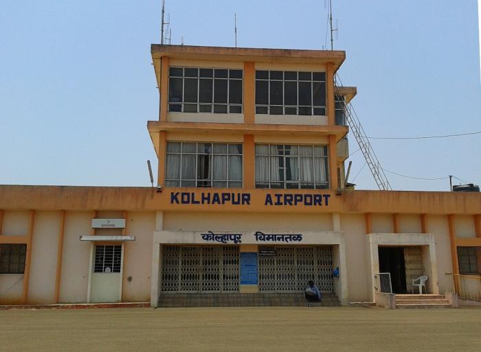
Kolhapur Airport
India /
Maharashtra /
Kolhapur /
World
/ India
/ Maharashtra
/ Kolhapur
World / India / Maharashtra / Kolhapur
airport
Add category
Presently only Deccan Airways operates on a daily basis.
It is situated at Ujlaiwadi which is 9 km South-East from Kolhapur city.
Airport ICAO Code: VAKP
Airport IATA Code: KLH
Elevation: 1996 ft / 608.38 m
Magnetic Variation: W 1°12.8' (2008-04)
Time Zone: UTC+5:30
TWR: 126.9 MHz
It is situated at Ujlaiwadi which is 9 km South-East from Kolhapur city.
Airport ICAO Code: VAKP
Airport IATA Code: KLH
Elevation: 1996 ft / 608.38 m
Magnetic Variation: W 1°12.8' (2008-04)
Time Zone: UTC+5:30
TWR: 126.9 MHz
Wikipedia article: http://en.wikipedia.org/wiki/Kolhapur_Airport
Nearby cities:
Coordinates: 16°39'55"N 74°17'27"E
- Pune International Airport (IATA: PNQ, ICAO: VAPO) 218 km
- Gulbarga Airport 292 km
- Bidar Airport 364 km
- Artillery Center Airport and Gliding Club, Nasik 372 km
- Aurangabad Airport, Chikhalthana 375 km
- Ozar Militery/Civil Aerodrome 388 km
- Rajiv Gandhi Hyderabad International Airport 442 km
- Begumpet Airport 451 km
- Air Force Station, Hakimpet 459 km
- Hakimpet Air Force Station 460 km
- Tamgaon Lake 1.5 km
- Gokul Shirgaon MIDC 2.3 km
- Tessitura monty industries 2.3 km
- MANER MALA 2.4 km
- Ujalaiwadi 2.8 km
- Gokul Shirgav 3 km
- Rajram lake 3.2 km
- Kolhapur Zilla Sahakari Dudh Utpadak Sangh Ltd. 3.2 km
- Karveer Taluka 9 km
- Hatkanangale Taluka 14 km
Comments