Partizanska Balka
Ukraine /
Zaporizka /
Zaporizhzhya /
World
/ Ukraine
/ Zaporizka
/ Zaporizhzhya
, 22 km from center (Запоріжжя)
World / Ukraine / Zaporizhzhya
gully
Add category
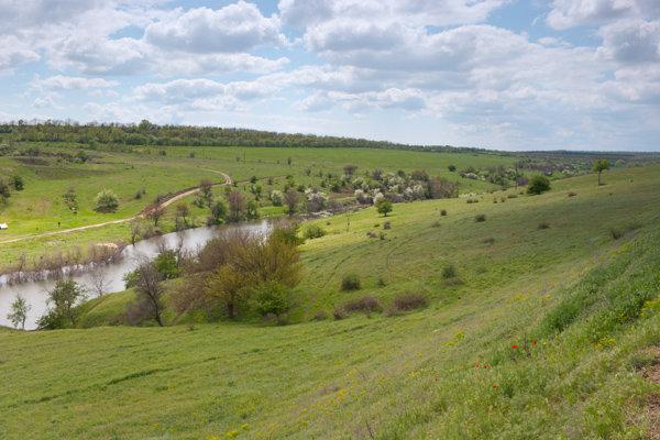
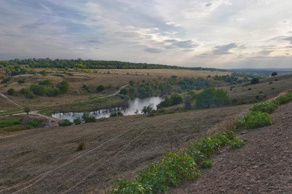
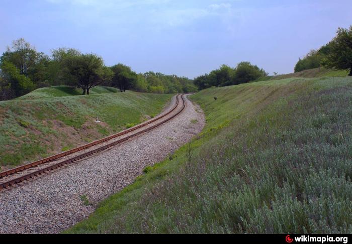
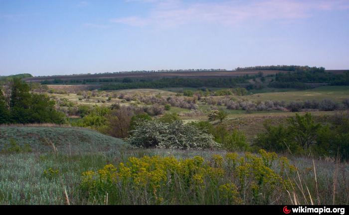
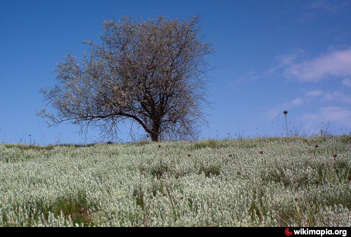
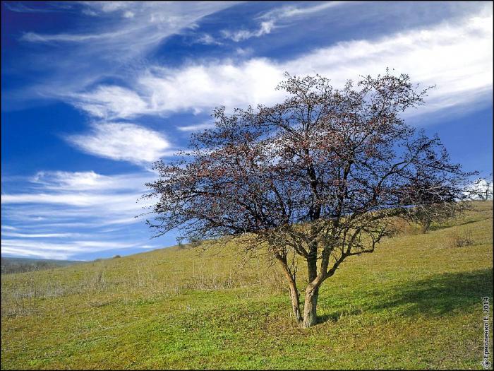
A picturesque gully with beautiful meadows, dotted with rich field herbs. The Horticanka River flows through the gully. The arms of the gully pass through a railway embankment via stone drainage tunnels built by German Mennonites in 1902 during the construction of the railway that encircles the gully in a semicircle from the west. In the valley of this gully, one of the tributaries of the Upper Horticza River is born - the Horticanka River.
A picturesque gully with beautiful meadows, covered with rich field herbs. The Horticanka River flows through the gully. The arms of the gully pass through a railway embankment via stone drainage tunnels built by German Mennonites in 1902 during the construction of the railway that encircles the gully in a semicircle from the west. In the valley of this gully begins one of the tributaries of the Upper Horticza River - the Horticanka River.
A story about Partisan Gully:
trainzer108.livejournal.com/3783.html
Nearby cities:
Coordinates: 47°52'24"N 34°58'18"E
- Skotovata ravine 15 km
- Lohanska balka 52 km
- Ternovataya balka (arroyo, creek) 59 km
- balka Tatarka 61 km
- Sukhyi Rohachyk Gully 81 km
- Adamova Arroyo 84 km
- Bereznehuvata Arroyo 91 km
- Kamianuvata Arroyo 93 km
- Sukhin Gully 117 km
- Husarka Gully 124 km
- SPS Shirokoe Solar Park 3 km
- Ukrsemprom Factory 4.3 km
- Military airfield Shirokoe 5.2 km
- Cemetery 6.1 km
- Cemetery 6.2 km
- Центральная ул., 101 6.3 km
- Mass grave 6.8 km
- Cattle place 6.8 km
- Fowl farm 7.2 km
- Cemetery 7.3 km