Multnomah Falls Area
USA /
Washington /
North Bonneville /
World
/ USA
/ Washington
/ North Bonneville
World / United States / Oregon
trail, waterfall

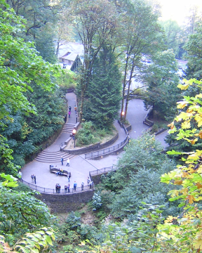

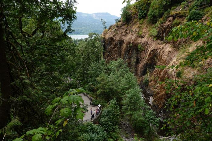

Plummeting 620 feet from its origins on Larch Mountain, Multnomah Falls is the second highest year-round waterfall in the United States. Nearly two million visitors a year come to see this ancient waterfall. Hike up to the top of the falls for a great view.
Fed by underground springs from Larch Mountain, the flow over the falls varies, usually it's highest during winter and spring.
Multnomah Falls offers one of the best places in the Columbia River Gorge National Scenic Area to study geology exposed by floods. Five flows of Yakima basalt are visible in the fall's cliff face.
www.waterfallsnorthwest.com/nws/falls.php?num=4051
www.hikespeak.com/trails/multnomah-falls-oregon/
www.topoquest.com/map.php?lat=45.57590&lon=-122.11542&d...
Wikipedia article: http://en.wikipedia.org/wiki/Multnomah_Falls
Nearby cities:
Coordinates: 45°34'38"N 122°7'1"W
- Lewis River Waterfalls 69 km
- Dry Falls State Park 307 km
- Widgeon Creek Nature Reserve 439 km
- Stamp River Provincial Park 470 km
- Nairn Falls Park 529 km
- Princess Louisa Inlet 531 km
- Oregon Jack Provincial Park 566 km
- Beaver Falls, MN and County Park (Renville County) 2119 km
- Mound Creek County Park (Brown County) 2128 km
- Nerstrand Woods State Park 2275 km
- Rooster Rock State Park 9 km
- Guy W. Talbot State Park 10 km
- Corbett, Oregon 14 km
- Bull Run Watershed 14 km
- Steigerwald Lake National Wildlife Refuge 15 km
- Camp Namanu - Camp Fire USA Portland Metro Council 17 km
- Brightwood, Oregon 24 km
- Boring, Oregon 24 km
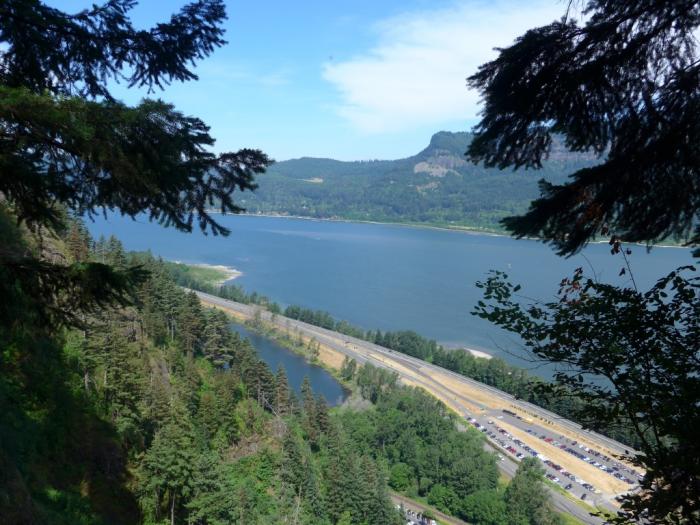
- Columbia River Gorge National Scenic Area 39 km
- Mount Hood National Forest 49 km
Comments