Columbia River Gorge National Scenic Area
USA /
Oregon /
Odell /
World
/ USA
/ Oregon
/ Odell
World / United States / Oregon
canyon / gorge, national park, tourist attraction, scenic area

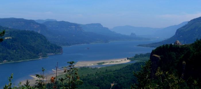
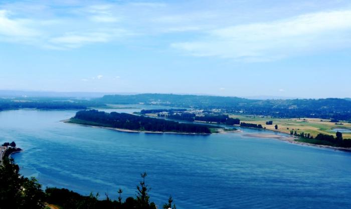
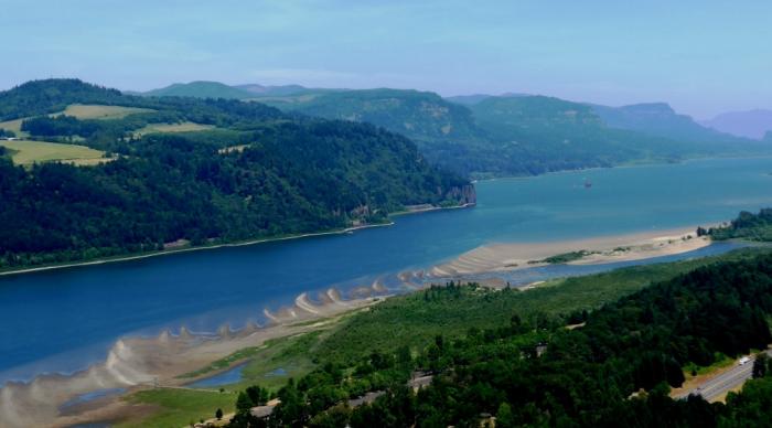
The Columbia River Gorge is a canyon of the Columbia River in the Pacific Northwest of the United States. Up to 4,000 feet (1,300 m) deep, the canyon stretches for over 80 miles (130 km) as the river winds westward through the Cascade Range forming the boundary between the State of Washington to the north and Oregon to the south. The Columbia Gorge American Viticultural Area is located in both states.
The gorge is the only water connection between the Columbia River Plateau and the Pacific Ocean. Extending roughly from the confluence of the Columbia with the Deschutes River down to eastern reaches of the Portland metropolitan area, the gorge furnishes the only navigable route through the Cascades. Shipping was greatly simplified after Bonneville Dam and The Dalles Dam submerged the gorge's major rapids. In 1805, the route was used by the Lewis and Clark Expedition to reach the Pacific.
The gorge today holds federally protected status as a National Scenic Area and is a popular recreational destination.
Wikipedia article: http://en.wikipedia.org/wiki/Columbia_River_Gorge_National_Scenic_Area
Nearby cities:
Coordinates: 45°39'27"N 121°38'7"W
- Grand Canyon National Park 1176 km
- The Grand Canyon (western section) 1224 km
- The Grand Canyon (west-central section) 1250 km
- The Grand Canyon (north-east section) 1266 km
- The Grand Canyon (central section) 1295 km
- Little Colorado River Gorge 1339 km
- Monument Valley Navajo Tribal Park 1351 km
- Orocopia Mountains Wilderness Area (BLM) 1422 km
- Carrizo Creek Canyon 1575 km
- Carcajou canyon 2176 km
- Oak Grove 3 km
- Wygant State Natural Area 3.6 km
- Rockford 4.8 km
- Odell, Oregon 7.8 km
- Lake Bonneville 8.2 km
- Dee, Oregon 8.4 km
- Lenz, Oregon 10 km
- Pine Grove, Oregon 11 km
- Jewett Creek Park 17 km
- Mount Hood National Forest 53 km
Comments