Pond
Ukraine /
Zaporizka /
Voznesenka /
World
/ Ukraine
/ Zaporizka
/ Voznesenka
, 4 km from center (Вознесенка)
World / Ukraine / Zaporizhzhya
recreation area / ground, lake, oxbow lake
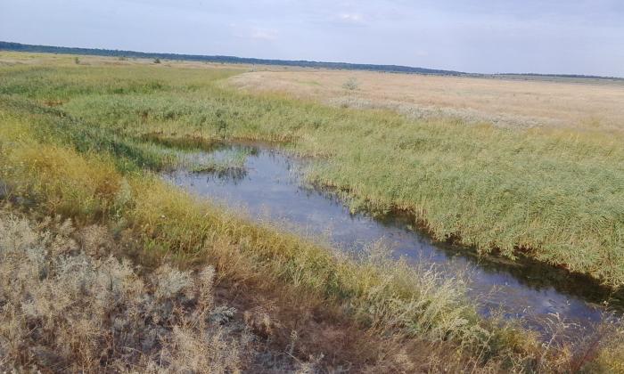
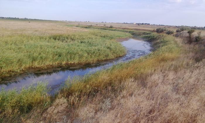
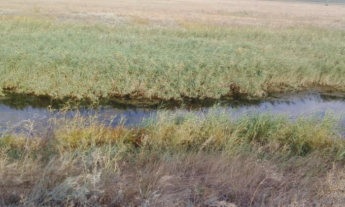
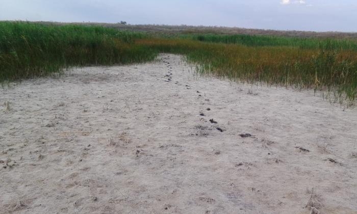

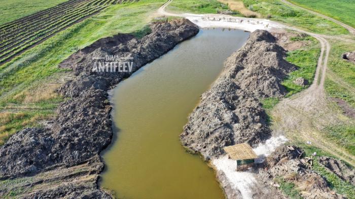
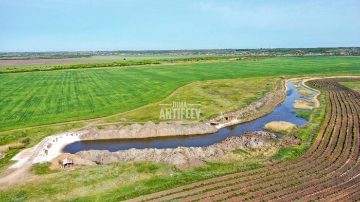
This pond was used for irrigation of fields and gardens. The water was taken from the Molochna river by increasing the the nearby dam lock's level. The pond is almost completely dry currently.
Nearby cities:
Coordinates: 46°54'0"N 35°27'58"E
- lake Saga 15 km
- Hatyr Lake 39 km
- Pond with paid fishing 40 km
- Pond 40 km
- Pond 50 km
- Utliukskyi Liman 51 km
- Pond 61 km
- Tsiliushchyi Lyman 71 km
- Pond 73 km
- Pond 73 km
- Bridge and dam 1 km
- Staroberdyanske forestry 3.1 km
- Melitopol Raion 10 km