Administrative Unit 10 (Tirana)
Albania /
Tirana /
Tirana
World
/ Albania
/ Tirana
/ Tirana
World / Albania / Tiranë / Tiranës
municipality, draw only border, town district
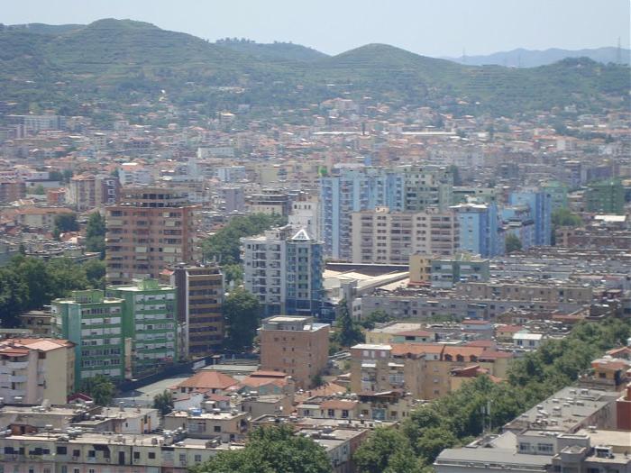
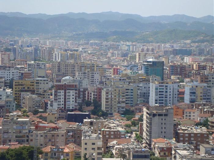
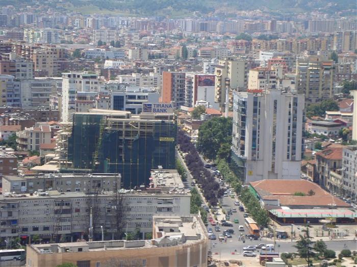
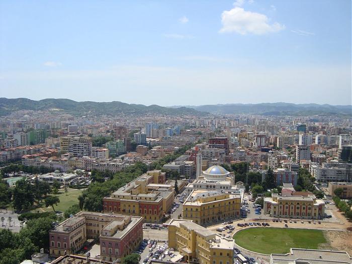
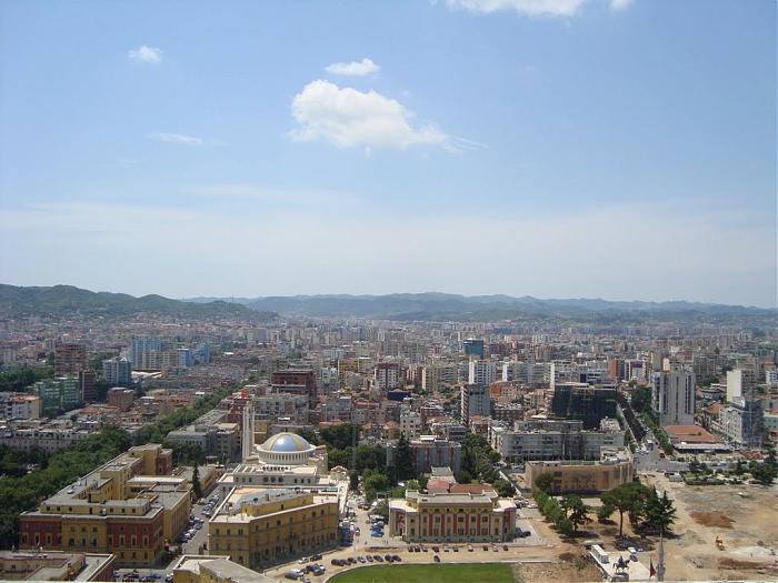
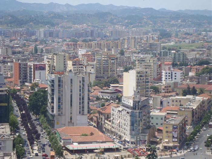
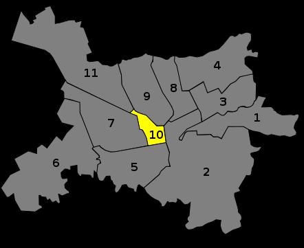
One of 24 administrative units of Tirana Municipality.
www.tirana.al
www.tirana.al
Wikipedia article: http://en.wikipedia.org/wiki/Tirana_10
Nearby cities:
Coordinates: 41°19'42"N 19°48'43"E
- Zemun 403 km
- Kvart Novi Zagreb "zapad" 589 km
- Sesvete 596 km
- Soroksár 682 km
- Pestszentlőrinc-Pestszentimre, the 18th district of Budapest 685 km
- Lido di Venezia 759 km
- Nové Mesto 798 km
- Záhorská Bystrica 804 km
- Leopoldstadt 815 km
- Donaustadt 821 km
- Apartment Complex 0.1 km
- School ground 0.2 km
- Gjimnazi (me kohë të shkurtuar) "Kostandin Kristoforidhi" 0.2 km
- Ministry of Education, Sports and Youth 0.2 km
- Commercial & Office Building 0.3 km
- Tregu Çam 0.3 km
- Embassy of Greece 0.4 km
- Shkolla 9-vjeçare "Jeronim de Rada" 0.4 km
- Brraka 0.6 km
- 21 Dhjetori 0.8 km
Comments