Aqabat
Egypt /
Giseh /
al-Wahhat-al-Bahhriyah /
World
/ Egypt
/ Giseh
/ al-Wahhat-al-Bahhriyah
, 140 km from center (الواحات)
World / Egypt
desert, rocks
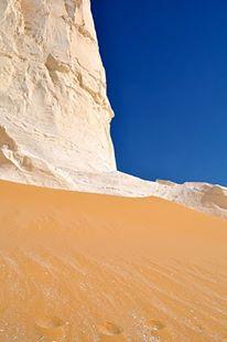
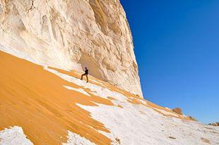
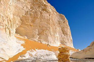
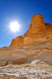
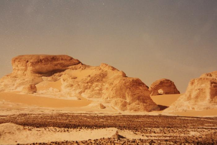
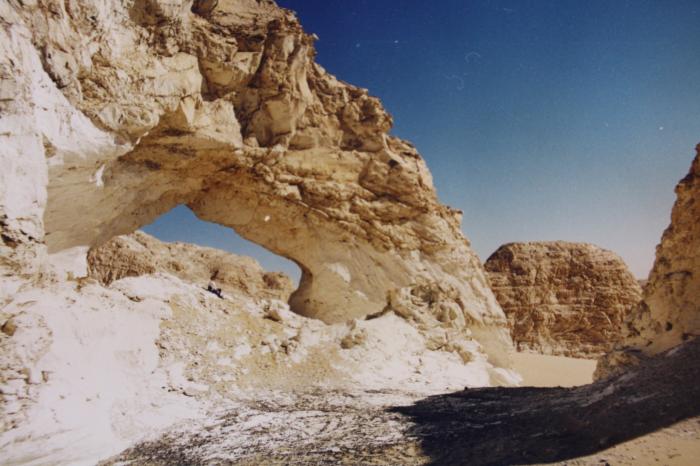

Aqabat means passage, in this case it means the passage up from Farafra depression onto the Western Plateau, where the road takes its way to Bahariya. west of it you find a section of the White Desert with big limestone formations
Nearby cities:
Coordinates: 27°28'38"N 28°17'11"E
- Negev 720 km
- Dasht-e Kavir 2458 km
- Aghda (Siah Kooh Kevir) playa 2506 km
- Dome Rig-e Jenn Desert 2514 km
- Shomal Garbi Reg-e Jenn Desert 2533 km
- Dasht-e Lut 2762 km
- Aral Sea 3357 km
- Sands can be reached by car at full power 3513 km
- Desert Taklamakan 4703 km
- Gobi Desert 6557 km
- Wadi al Biban 13 km
- Sahra al Gadida 23 km
- Matar Farm HEZ 83 km
- Black Desert 88 km
- Arabia Investment Farms 101 km
- El Shaer 103 km
- Future Land 106 km
- ارض خالد نوفيق و اخرين 107 km
- Tilal as Souda 111 km
- Ghard Abu Muharrik 152 km
Comments