Lord's Wood
United Kingdom /
England /
Clutton-Temple Cloud /
World
/ United Kingdom
/ England
/ Clutton-Temple Cloud
World / United Kingdom / England
region, green space, woodland
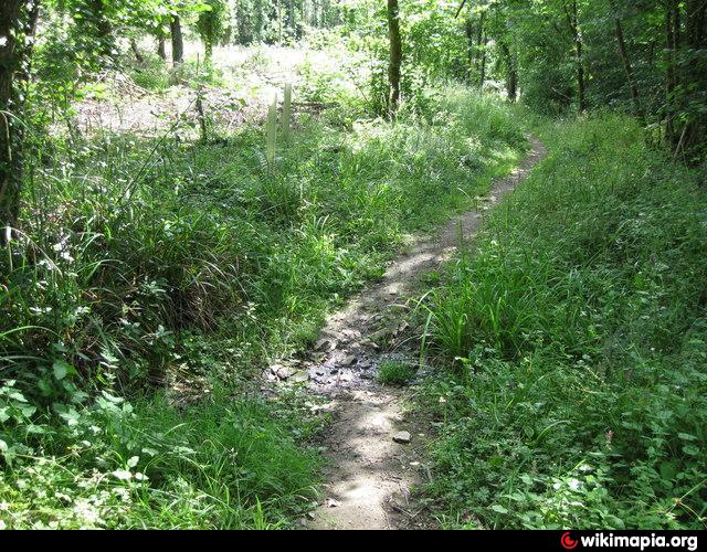

Lord's Wood is a woodland southeast of the village of Pensford in the Chew Valley, south of Bristol, England.
The wood largely consists of planted conifers, however some broad-leaved areas remain.A number of small streams flow northward through the wood, converging and then eventually meeting the River Chew to the north.
There is a well-vegetated pond near the centre of the wood.
Hunstrete Lake lies just to the southeast of the wood.
Adapted from Wikipedia
Wikipedia article: http://en.wikipedia.org/wiki/Lord's_Wood,_Pensford
Nearby cities:
Coordinates: 51°21'53"N 2°31'41"W
- Trowbridge 20 km
- Salisbury Plain 24 km
- The Salisbury Plain Training Area 26 km
- Peat Workings 30 km
- Lisvane 52 km
- Forest of Dean 54 km
- Rhondda Valley 80 km
- Porthcawl 85 km
- Dartmoor National Park 134 km
- London Borough of Hammersmith & Fulham 159 km
- Hunstrete Plantation 1.1 km
- Site of Pensford Colliery (Disused) 1.4 km
- Hunstrete House Grounds 1.7 km
- Common Wood 2.1 km
- Roundhill Wood 2.4 km
- Burnett 3.9 km
- Stantonbury Camp 4.1 km
- Priest Barrow 5 km
- Saltford Golf Club 5.9 km
- Somerset 42 km