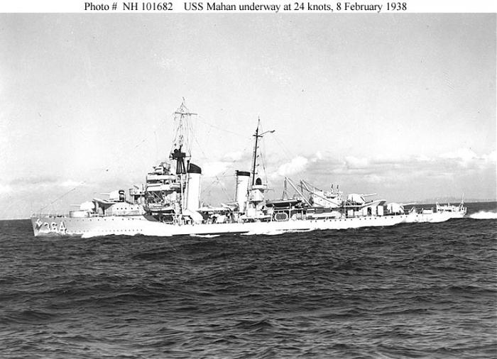
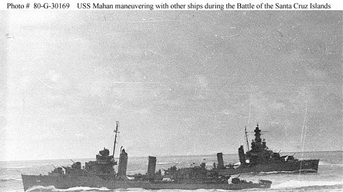
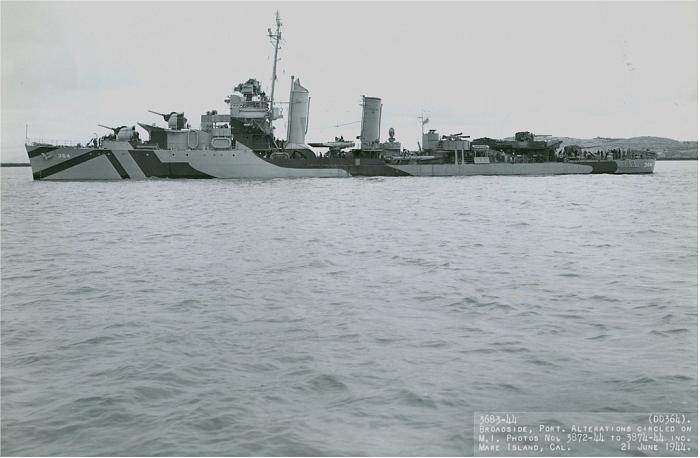
Wreck of USS Mahan (DD-364)
Philippines /
Eastern Visayas /
Bilwang /
World
/ Philippines
/ Eastern Visayas
/ Bilwang
World / Philippines / Leyte / Macarthur
Second World War 1939-1945, shipwreck, destroyer (ship), United States Navy
Wikipedia article: http://en.wikipedia.org/wiki/USS_Mahan_(DD-364)
Nearby cities:
Coordinates: 10°50'0"N 124°29'59"E
- Wreck of HIJMS Musashi (武蔵) 337 km
- The Mariveles Cove 593 km
- Wreck of the Japanese aircraft carrier Zuikaku 951 km
- Wreck of USS Underhill (DE-682) 976 km
- Peleliu (Beliliou) Island 1148 km
- Wreck of HIJMS Yamato (大和) 2246 km
- Wreck of USS Grenadier (SS-210) 2992 km
- Xinjin Airport (ICAO : ZUXJ) 3053 km
- Broadway Landing Area 3314 km
- Chindit Landing Strip - Broadway 3318 km
- Dapdap 6.4 km
- San Juan 7.5 km
- Ponson Island 7.7 km
- Montserrat 10 km
- Camotes Islands 17 km
- Villahermosa (Brgy) 18 km
- Poro Island 19 km
- Barangay Libertad 23 km
- Cuatro Islas 39 km
- Cebu 80 km