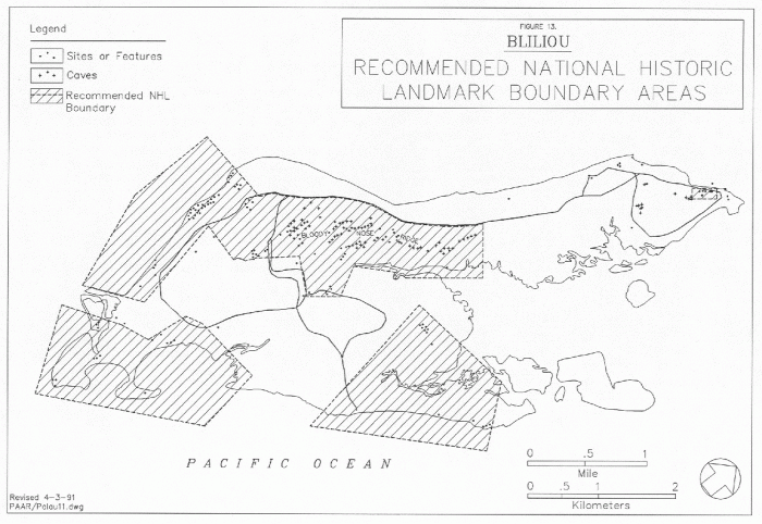
Peleliu (Beliliou) Island
Palau /
Peleliu /
Kloulklubed /
World
/ Palau
/ Peleliu
/ Kloulklubed
World / Palau
Second World War 1939-1945, island, battlefield, NRHP - National Register of Historic Places, historic landmark, United States Marine Corps, United States Army, U.S. National Historic Landmark
Peleliu Island, Republic of Palau (Belau) - site of the Battle of Peleliu September 15, 1944 to November 25, 1944. Location of famous battles such as Bloody Nose Ridge, Death Valley and Five Sisters.
The Peleliu Battlefield has been listed on the U.S. National Register of Historic Places, (reference number 85001754), since 1985.
The listed area is 7,680 acres.
en.wikipedia.org/wiki/Battle_of_Peleliu
The Peleliu Battlefield has been listed on the U.S. National Register of Historic Places, (reference number 85001754), since 1985.
The listed area is 7,680 acres.
en.wikipedia.org/wiki/Battle_of_Peleliu
Wikipedia article: http://en.wikipedia.org/wiki/Peleliu
Nearby cities:
Coordinates: 7°0'41"N 134°14'41"E
- Ngerumekaol Grouper Spawning Area 6.3 km
- Carp Island 10 km
- Angaur Island 17 km
- 70 Islands (Rock Islands) 19 km
- Ulong 32 km
- Ngeruktabel Island 34 km
- Koror Island 45 km
- Babeldaob 84 km
- Ngcheangel (Kayangel) Island 131 km
- Republic of Palau 134 km
- Japanese Caves and Wreckage of a US Marine Tank 0.7 km
- Death Valley and Bloody Nose Ridge 0.7 km
- Peleliu Airfield 2.1 km
- Peleliu South Harbor 3.8 km
- Angaur Passage 7 km
- Hydrographer Bank 10 km
- Former Loran station 15 km
- Wreck of YMS-19 15 km
- Angaur Airport 16 km
- Wreck of USS Perry (DD-340/DMS-17) 17 km