Kozel mound
Ukraine /
Khersonska /
Nyzhni Sirohozy /
World
/ Ukraine
/ Khersonska
/ Nyzhni Sirohozy
, 11 km from center (Нижні Сірогози)
World / Ukraine / Kherson
archaeological site, barrow/tumulus/burial mound, triangulation station
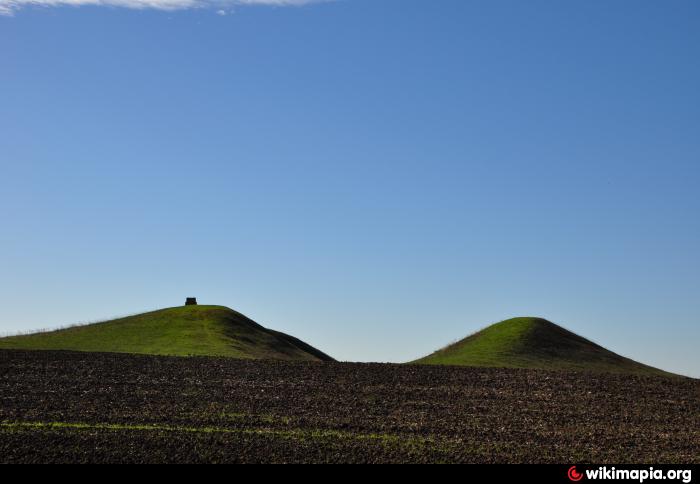


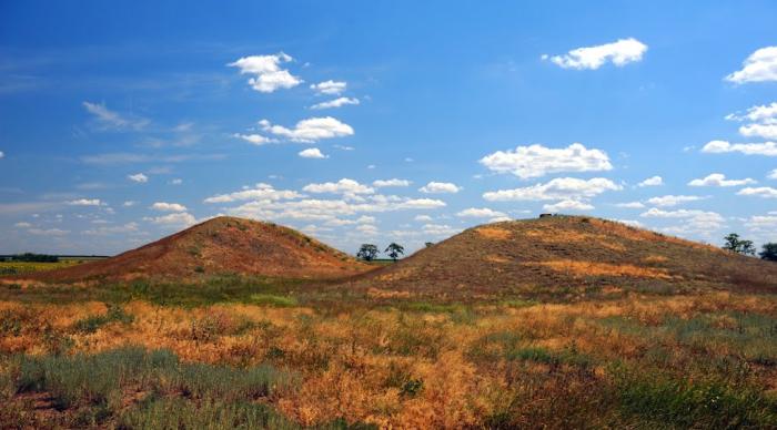
It has a height of 14 m and a diameter of about 320 m, dating to the early 4th century BC.
Nearby cities:
Coordinates: 46°57'20"N 34°24'27"E
- Sirohozy 3 km
- Kosakivka 8.6 km
- Road transport company 12 km
- Cemetery 12 km
- School 13 km
- Central regional hospital 13 km
- Cemetery 13 km
- Cemetery 14 km
- Cemetery 16 km
- Hornostaivka Raion 36 km