Kahoʻolawe
USA /
Hawaii /
Kihei /
World
/ USA
/ Hawaii
/ Kihei
World / United States / Hawaii
island, NRHP - National Register of Historic Places, invisible, historic district


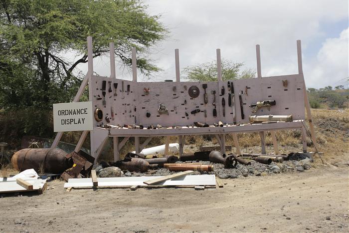
The counterpart of Vieques and San Clemente Islands, Kahoʻolawe has been used for many decades as an Army, Navy, Air Force and Marine training & target area. The use of Kahoʻolawe as a training range was believed to be critical to the lives of many young Americans. Uninhabited and littered with shrapnel and unexploded ordinance, the Island has been cleaned up by private companies after the US Navy’s attempts to clear the area failed. No more work will be done by federal gov’t funding. Returned to the state of Hawaiʻi with full ceremony, the island is now part of Maui county.
On March 18th, 1981, the entire 45 square-mile island was added to the National Register of Historic Places (NRHP) as ‘Kahoʻolawe Island Archeological District’, a U.S. Historic District. The island’s addition to the Register was prompted by the existence of more than 500 individual archeological sites.
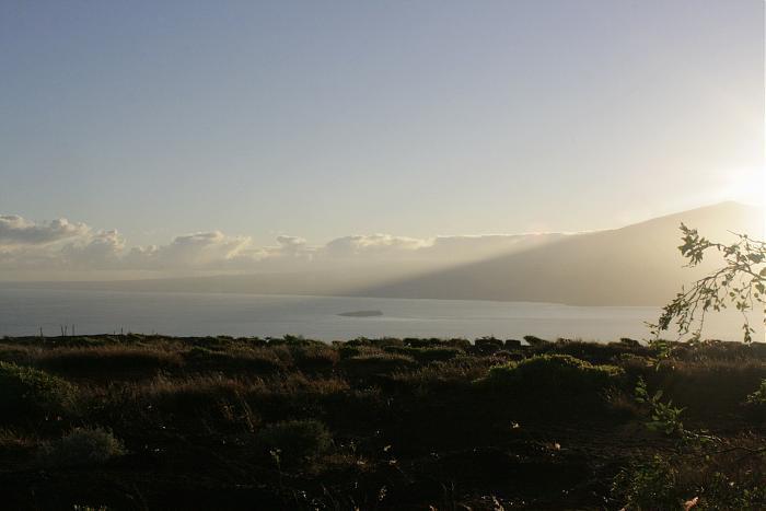
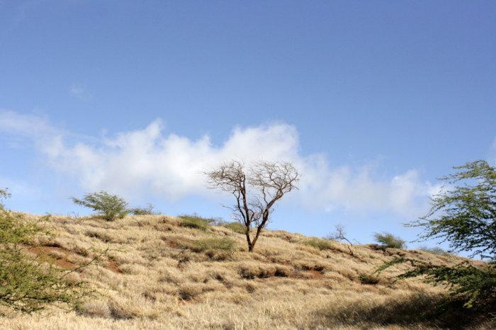
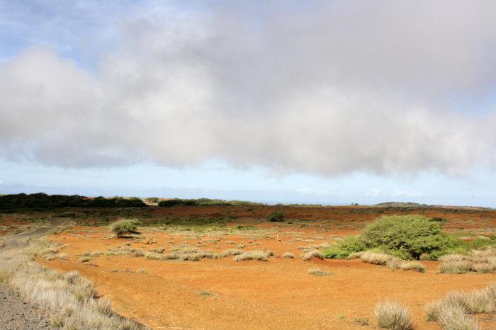
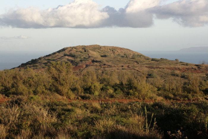
Kahoʻolawe, 6 miles SW across ʻAlalākeiki Channel from the SW extremity of Maui, has an area of 45 square statute miles and is the smallest of the eight major islands. Kahoʻolawe is about 10 miles long and 6 miles wide, and from a distance has an even, unbroken appearance. The high cliffs on the E and S sides are grayish-black; the soil of the mountain tops and the gentle slopes of the N and W sides are reddish. The island has scarcely any rainfall, and the huge clouds of red dust which trail to leeward during strong winds can be seen for many miles. Puʻu ʻO Moaʻula lki, a brown dome 1,444 feet high near the E end of the island, is the most prominent landmark.
[www.nauticalcharts.noaa.gov/nsd/coastpilot_w.php?book=7] Chapter 14
On March 18th, 1981, the entire 45 square-mile island was added to the National Register of Historic Places (NRHP) as ‘Kahoʻolawe Island Archeological District’, a U.S. Historic District. The island’s addition to the Register was prompted by the existence of more than 500 individual archeological sites.
Kahoʻolawe, 6 miles SW across ʻAlalākeiki Channel from the SW extremity of Maui, has an area of 45 square statute miles and is the smallest of the eight major islands. Kahoʻolawe is about 10 miles long and 6 miles wide, and from a distance has an even, unbroken appearance. The high cliffs on the E and S sides are grayish-black; the soil of the mountain tops and the gentle slopes of the N and W sides are reddish. The island has scarcely any rainfall, and the huge clouds of red dust which trail to leeward during strong winds can be seen for many miles. Puʻu ʻO Moaʻula lki, a brown dome 1,444 feet high near the E end of the island, is the most prominent landmark.
[www.nauticalcharts.noaa.gov/nsd/coastpilot_w.php?book=7] Chapter 14
Wikipedia article: http://en.wikipedia.org/wiki/Kahoolawe
Nearby cities:
Coordinates: 20°33'10"N 156°36'56"W
- Maui 54 km
- Lānaʻi 63 km
- Hawai‘i 65 km
- Moloka'i 104 km
- O'ahu 216 km
- Kaua'i 378 km
- Niʻihau 410 km
- French Frigate Shoals 1067 km
- Kiritimati Atoll 2062 km
- Pearl and Hermes Atoll 2131 km
- Kūnaka-Naʻalapa 2.9 km
- Alalākeiki Channel 14 km
- Kealaikahiki Channel 17 km
- ‘Ulupalakua Ranch Conservation Easement 28 km
- Kahikinui Hawaiian Home Land 38 km
- Haleakalā National Park 51 km
- Alenuihāhā Channel 59 km
- Kiholo Ridge 85 km
- Indianapolis Seamount 105 km
- Alika Knoll 116 km
Comments