Bath Community Safety Centre (Bath)
United Kingdom /
England /
Bath
World
/ United Kingdom
/ England
/ Bath
World / United Kingdom / England
community centre / hall
Add category
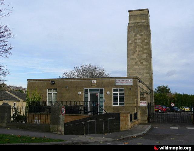
Cleveland Bridge, Bath, BA2 6PU
www.geograph.org.uk/photo/1053530
www.avonfire.gov.uk/Avon/Your+safety/Community+Safety+C...
www.geograph.org.uk/photo/1053530
www.avonfire.gov.uk/Avon/Your+safety/Community+Safety+C...
Nearby cities:
Coordinates: 51°23'20"N 2°21'17"W
- The Civic Hall 13 km
- Kingswood Foundation 14 km
- The Park 17 km
- The Bristol Proving House 18 km
- The Withywood Centre 19 km
- Elmgrove Centre 19 km
- Turnberrie's 27 km
- Toothill Village Centre 41 km
- Sherborne Library and Digby Hall 50 km
- The Hanham Centre 70 km
- Henrietta Park 0.4 km
- Sydney Gardens 0.5 km
- Royal Avenue 1 km
- St Mark's School 1.1 km
- Royal High School Gounds 1.2 km
- Bath 18 Hole Pitch and Putt 1.2 km
- Bath Pitch and Putt 1.3 km
- Royal Victoria Park 1.4 km
- Kingswood School Grounds 1.5 km
- Somerset 54 km