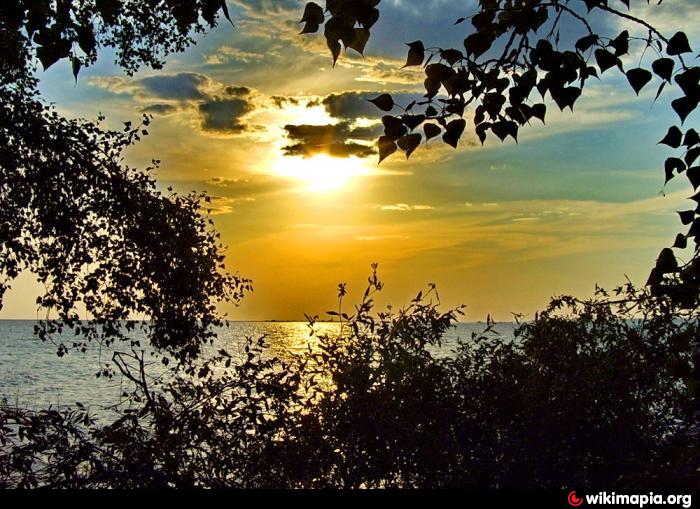
Tsimlyansk Reservoir
Russia /
Rostov /
Dubovskoye /
World
/ Russia
/ Rostov
/ Dubovskoye
, 29 km from center (Дубовское)
World / Russia / Rostov
reservoir
Add category
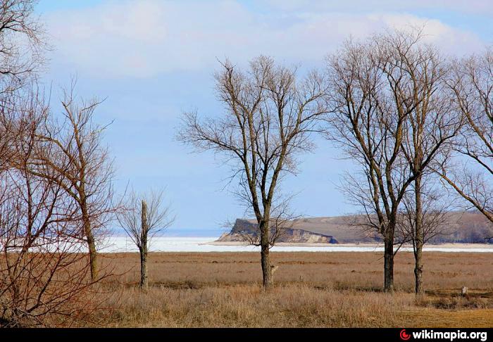
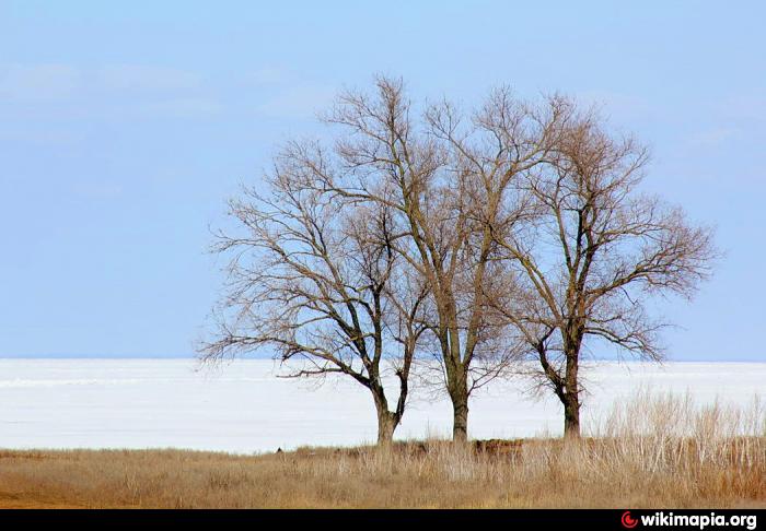
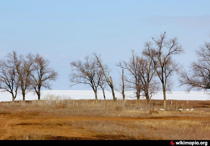
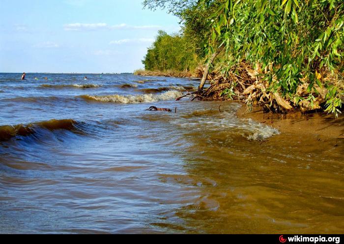
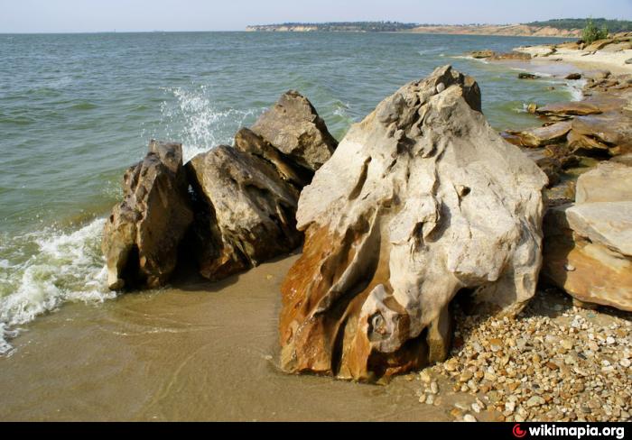
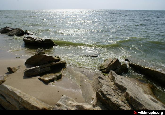
Tsimlyansk Reservoir is the result of building the Tsimlyansk hydroelectric power station dam on the river Don. It was filled in with water during 1952-1955. It`s situated on the territory of Rostov and Volgograd Oblasts. Its surface equals 2700 km2, volume - 23.9 km2, length - 260 km, the broadest place - 38 km, average depth - 8.8 m.
Instead of the deltas of the Don`s main tributaries - Aksay, Tsimla, Chir, and others the gulfs appeared 5 km in length and 15-30 km in width.
Tsimlyansk reservoir was created as part of the Volga-Don navigable waterway. Its waters were intended to irrigate 600.000 hectares and supply with water 2 million hectares of fertile land.
FISHING
Bream, blue bream, pike, etc.
The reservoir practises long term flow regulation. On its baks there are such cities as Kalach-na-Donu, Tsimlyansk, Volgodonsk.
Wikipedia article: https://en.wikipedia.org/wiki/Tsimlyansk_Reservoir
Nearby cities:
Coordinates: 47°41'55"N 42°36'59"E
- Tsimlyansk Reservoir 64 km
- Tsimlyansk Reservoir 107 km
- Vesyolovskoye Reservoir 152 km
- Rostovskoe More 217 km
- Biriukovske Reservoir 221 km
- Severnoye vodokhranilishche [=Northern Reservoir] 224 km
- Verkhnekrasnianskoe Reservoir 237 km
- Chogray Reservoir 249 km
- Fish farm 253 km
- Novotroitskoye reservoir 279 km