Ocracoke Lighthouse (Ocracoke, North Carolina)
USA /
North Carolina /
Ocracoke /
Ocracoke, North Carolina /
Lighthouse Road, 360
World
/ USA
/ North Carolina
/ Ocracoke
World / United States / North Carolina
lighthouse
Add category


360 Lighthouse Road
Ocracoke, NC 27960
www.nps.gov/caha/planyourvisit/ols.htm
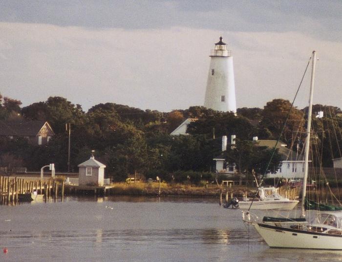
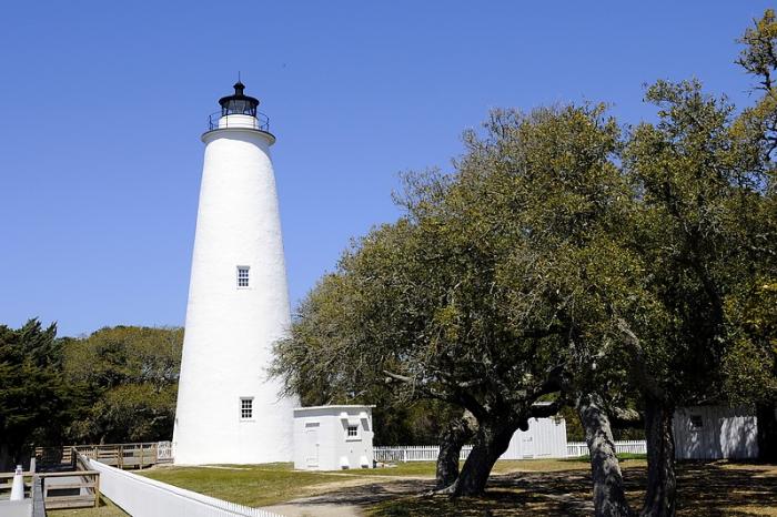
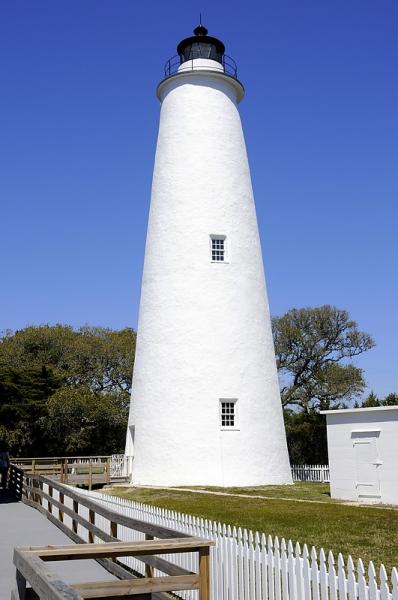
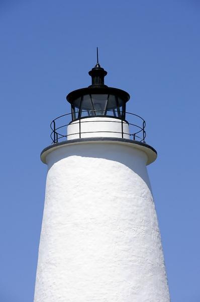
The lighthouse of Ocracoke Island.
Ocracoke, NC 27960
www.nps.gov/caha/planyourvisit/ols.htm
The lighthouse of Ocracoke Island.
Wikipedia article: http://en.wikipedia.org/wiki/Ocracoke_Light
Nearby cities:
Coordinates: 35°6'30"N 75°59'8"W
- Cape Hatteras Lighthouse Nation Historic Park 45 km
- Wolf Trap Lighthouse 255 km
- Harbor of Refuge Light and Outer Wall 422 km
- Brandywine Shoal Light 439 km
- Fourteen Foot Bank Lighthouse 444 km
- Miah Maul Range Lighthouse 451 km
- Fort Dade / Egmont Key 1054 km
- Alligator Reef Light 1225 km
- former site of Northwest Passage light 1299 km
- Rebecca Shoal Lighthouse 1333 km
- Gull Rock Game Land 34 km
- Hyde County, North Carolina 36 km
- BT-11 Piney Island (R-5306A) 44 km
- Cape Hatteras National Seashore 45 km
- Cape Lookout National Seashore 46 km
- Lake Mattamuskeet 48 km
- Pamlico County, North Carolina 59 km
- Carteret County, North Carolina 60 km
- Beaufort County, North Carolina 87 km
- Craven County, North Carolina 97 km