Port Mayaca
USA /
Florida /
Canal Point /
World
/ USA
/ Florida
/ Canal Point
World / United States / Florida
village
Add category

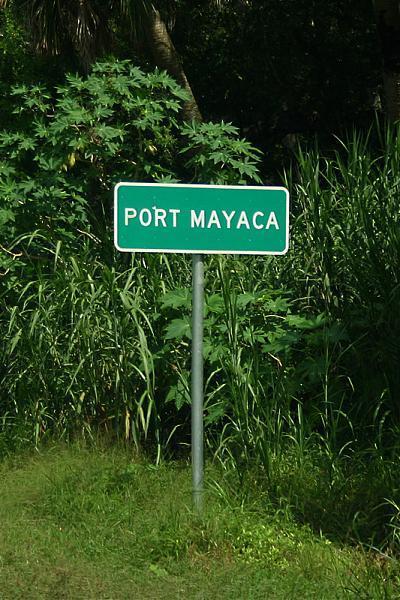
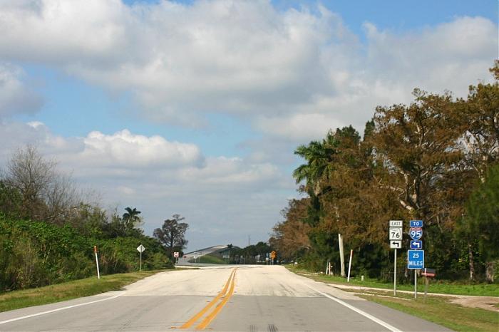
Port Mayaca is a sparsely populated place located in western Martin County, Florida on the eastern side of Lake Okeechobee. It is centered just south of the Port Mayaca Locks on the Okeechobee Waterway (St. Lucie Canal) at the intersection of SW Kanner Highway, Florida State Road 76, and S.W. Gaines Highway, (Florida State Road 15), which is signed as U.S. Route 441 and U.S. Route 98. There are a few houses and businesses at this intersection but most are strung out north and south along Gaines Highway or east along Kanner Highway.
Wikipedia article: http://en.wikipedia.org/wiki/Port_Mayaca,_Florida
Nearby cities:
Coordinates: 26°58'35"N 80°36'50"W
- Wellington 45 km
- Sunniland 104 km
- Alva 111 km
- Pinecrest, Florida 146 km
- Key Biscayne 146 km
- Lely Resort Golf and Country Club 148 km
- Palmetto Bay, Florida 150 km
- Holmes Rock 179 km
- South Venice 181 km
- Islamorada 219 km
- Martin Plant Cooling Water Reservoir 7.4 km
- Port Mayaca Plantation Phase 1 8.9 km
- Dupuis Recreation Area 9 km
- Port Mayaca Polo Club 10 km
- Martin County, Florida 20 km
- Lake Okeechobee 25 km
- Kreamer Island 27 km
- Torry Island 30 km
- Palm Beach County, Florida 40 km
- Okeechobee County, Florida 49 km
Comments