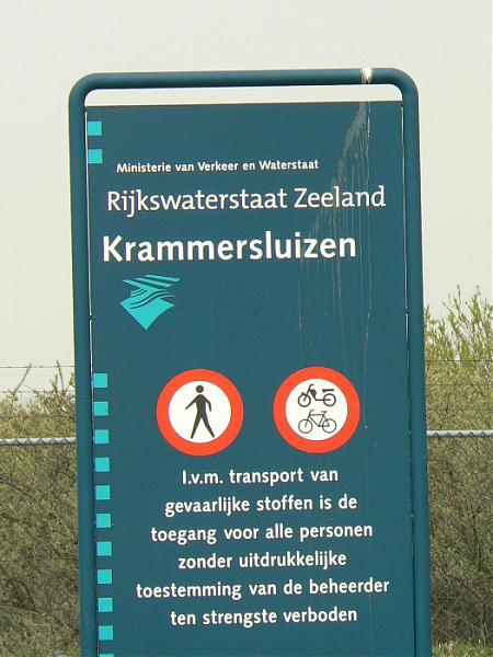
Viewing Tower Krammers lock
Netherlands /
Zuid-Holland /
Middelharnis /
Krammersluizen
World
/ Netherlands
/ Zuid-Holland
/ Middelharnis
World / Netherlands / Zeeland
panoramic view, interesting place, lookout tower


A great view of the Lock and the surrounding area.
Nearby cities:
Coordinates: 51°39'35"N 4°9'44"E
- Armed fruit along the highway: Banana 88 km
- Amstdamse Strekdam 97 km
- hill 130 km
- Oud stuk hellingbos 153 km
- Vrouwenheide geological monument 154 km
- Signal de Botrange summit (694m) 186 km
- The White Cliffs of Dover 204 km
- Oonwas with panoramical view 242 km
- Sainte-Catherine hill 329 km
- Cap Fagnet 340 km
- Sint Philipsland 3 km
- Volkerak 8.1 km
- Goeree-Overflakkee 11 km
- Tholen (muncipality) 11 km
- Goeree-Overflakkee (municipality) 11 km
- Steenbergen (municipality) 12 km
- Grevelingen Lake 14 km
- Schouwen-Duiveland (municipality) 18 km
- Scheldt-Rhine Canal 20 km
- South Holland 43 km