Port of Mariupol
Ukraine /
Donetska /
Mariupol /
prospekt Admirala Lunina, 99
World
/ Ukraine
/ Donetska
/ Mariupol
, 6 km from center (Маріуполь)
World / Ukraine / Donets'k
seaport
Add category

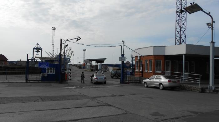
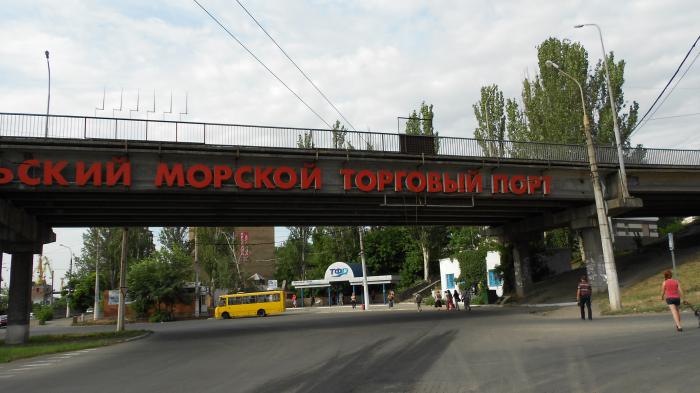
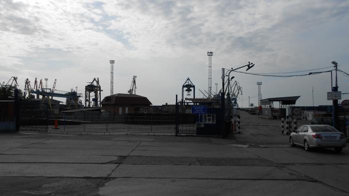

The Port of Mariupol or Mariupol Sea Port (Ukrainian: Маріупольський морський порт) is governed by the port authority managed by Ukrainian Sea Ports Authority.
The berthing line of the seaport is 3.9 km (22 berths), with depths down to 9.75 meters. The port is served by one port railway station "Mariupol-Port." The total length of the railways of the port is 27,1 km. Highways are adjacent to the port.
The cargo turnover of Mariupol seaport in 2016 amounted to 7.6 million tons, the capacity of Mariupol seaport reaches 18.8 million tons per year.
Wikipedia article: http://en.wikipedia.org/wiki/Port_of_Mariupol
Nearby cities:
Coordinates: 47°3'8"N 37°30'27"E
- Порт Тамань 220 km
- Mykolaiv Commercial Sea Port 419 km
- Transinvestservice (TIS) Terminal 497 km
- Southern Port 497 km
- Port of Odesa 520 km
- Port Chornomorsk 530 km
- Midia Port 752 km
- Constanţa North Harbor 761 km
- Constanţa South Harbor 762 km
- Zonguldak 771 km
- Mariupol Port - North mole 1.1 km
- Portovyk Sports Complex 1.4 km
- LTD "SRZ" 1.4 km
- Selyshche Moriakiv 1.5 km
- Marway 1.7 km
- Cheremushky 2.4 km
- "Peschanka" or "Peschaniy" beach 2.6 km
- Pishchane 2.8 km
- Mariupol City Territorial Hromada 7 km
- Taganrog Bay 61 km