Franz Joseph Island
Serbia and Montenegro /
Montenegro /
Ulcinj /
World
/ Serbia and Montenegro
/ Montenegro
/ Ulcinj
, 20 km from center (Улцињ)
World / Albania / Shkodër / Shkodrës
island, historical layer / disappeared object
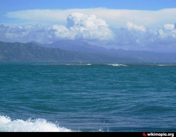
This is a natural island formed by Buna river alluviums that in certain times of the year is transformed into a peninsula from the tides and river's inert.
Franz Joseph Island (or Franz Josef, Franc Jozeph, etc.) (Albanian: Ishulli i Franc Jozefit) is an island located at the mouth of the Buna River in Albania. Area 0.05 km² (0.019 sq mi). Highest elevation 4 m (13 ft). The island is made up of rich alluvial soil and becomes a peninsula depending on the size of the river's flow. This island is an important nesting ground for many seabirds, especially the family Ardeidae.
The island is low ground covered with a sandy seashore and dominated by alder trees. The trees are 75 years of age and reach a height of 16 m (52 ft). The island receives few foreign tourists and attracts for its quietness.
The name was given to the island by Austrian cartographers in 1870. It is believed that the name was chosen in honor of the Emperor Franz Joseph I of Austria.
Wikipedia article: http://en.wikipedia.org/wiki/Franc_Jozeph_Island
Nearby cities:
Coordinates: 41°50'55"N 19°22'35"E
- Ada Bojana 4.2 km
- Vranjina Island 54 km
- Divjakë Island 95 km
- Koločep 147 km
- Lopud 152 km
- Šipan 163 km
- Jakljan 165 km
- Mljet 200 km
- Lastovo 235 km
- Korčula 259 km
- Border zone 1.4 km
- Ada Bojana 2.2 km
- Velipojë Beach 4.2 km
- Këneta e Bishalqinit 6.3 km
- Mbisukë 6.5 km
- Laguna e Vilunit 6.5 km
- Velika Plaža 8.7 km
- Blue Borgo Resort 11 km
- Ulcinj Municipality 15 km
- Shkodër District 41 km