Center City (Philadelphia, Pennsylvania)
USA /
New Jersey /
Camden /
Philadelphia, Pennsylvania
World
/ USA
/ New Jersey
/ Camden
World / United States / Pennsylvania
downtown / central business district, draw only border, historic city center
Philadelphia's downtown/business district, center city Philadelphia (sometimes referred to as central Philadelphia or simply "center city") is located west of (yet includes) the historic area.
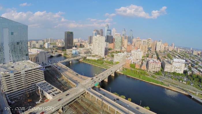
Borders include the Schuylkill River (to the west), Spring Garden Street (to the north), South Street (to the south), and the Delaware River (to the east).
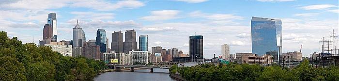
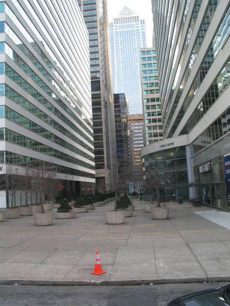
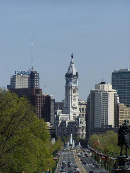
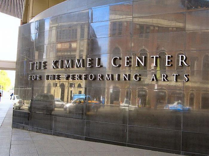
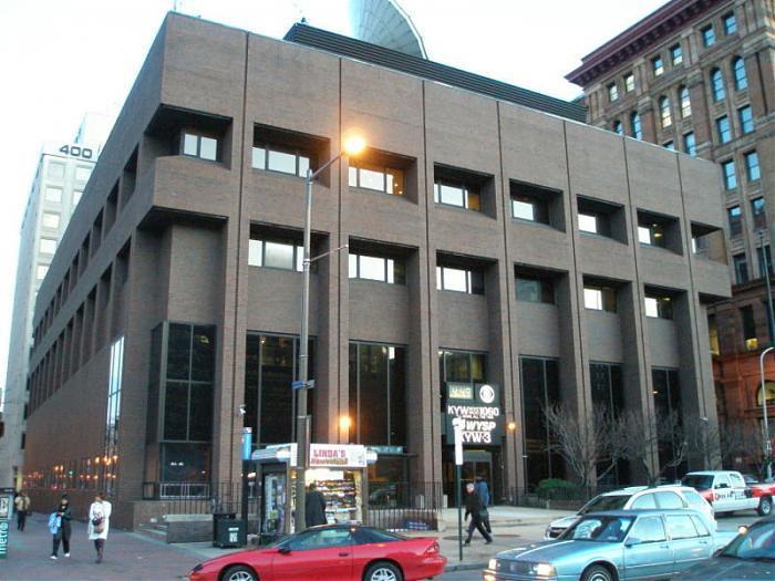
Many of the city's finest establishments and best-known attractions are found in center city. The majority of Philadelphia's skyscrapers make center city their home, and the overall vicinity serves as a major mass transit hub.
Interstates 76 (Schuylkill Expressway), 95 (Delaware Expressway), and 676 (Vine Street Expressway) run through the area and provide several access points inside. Additionally, US Route 30 and Pennsylvania Routes 611 and 3 run through center city. The Ben Franklin Bridge's western side also terminates in center city.
Neighborhoods include:
-Washington Square
-Old City
-Graduate Hospital
-Avenue of the Arts
-Rittenhouse Square
-Chinatown
-Museum District
-Society Hill
-Fitler Square
Borders include the Schuylkill River (to the west), Spring Garden Street (to the north), South Street (to the south), and the Delaware River (to the east).
Many of the city's finest establishments and best-known attractions are found in center city. The majority of Philadelphia's skyscrapers make center city their home, and the overall vicinity serves as a major mass transit hub.
Interstates 76 (Schuylkill Expressway), 95 (Delaware Expressway), and 676 (Vine Street Expressway) run through the area and provide several access points inside. Additionally, US Route 30 and Pennsylvania Routes 611 and 3 run through center city. The Ben Franklin Bridge's western side also terminates in center city.
Neighborhoods include:
-Washington Square
-Old City
-Graduate Hospital
-Avenue of the Arts
-Rittenhouse Square
-Chinatown
-Museum District
-Society Hill
-Fitler Square
Wikipedia article: http://en.wikipedia.org/wiki/Center_City,_Philadelphia
Nearby cities:
Coordinates: 39°57'1"N 75°9'46"W
- Town of Niagara-on-the-Lake, ON 499 km
- Geographic Township of Tilbury North (former) 676 km
- Geographic Township of Rochester (former) 686 km
- Geographic Township of Gosfield South (former) 687 km
- Geographic Township of Gosfield North (former) 688 km
- Geographic Township of Sombra (former) 689 km
- Geographic Township of Maidstone (former) 698 km
- Geographic Township of Colchester South (former) 700 km
- Geographic Township of Colchester North (former) 701 km
- Miranda de Ebro 5844 km
- Washington Square West 0.6 km
- Rittenhouse Row 0.7 km
- Hawthorne 1.1 km
- Callowhill Loft District 1.2 km
- Franklinville 1.3 km
- Society Hill 1.5 km
- Old City 1.5 km
- Southwest Center City/Graduate Hospital Area 1.6 km
- North Philadelphia 3.3 km
- South Philadelphia 4.3 km