Mosquito Lagoon
USA /
Florida /
Mims /
World
/ USA
/ Florida
/ Mims
World / United States / Florida
lagoon
Add category
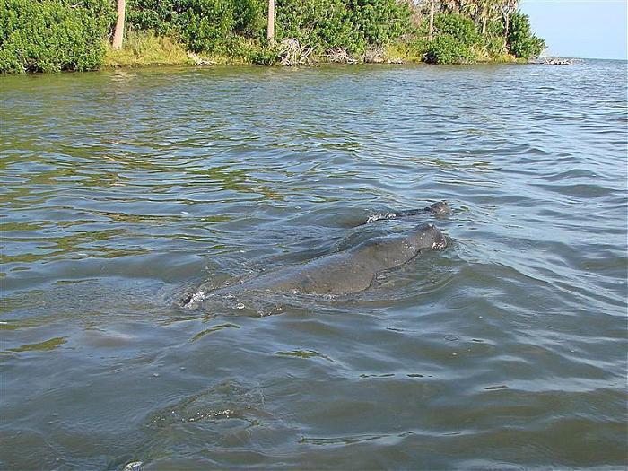
A protected body of water surrounded by the Merritt Island National Wildlife Refuge and the Canaveral National Seashore. The Atlantic Intracoastal Waterway cuts through the lagoon providing passage for larger vessels.
www.fws.gov/merrittisland/
www.fws.gov/merrittisland/
Wikipedia article: http://en.wikipedia.org/wiki/Mosquito_Lagoon
Nearby cities:
Coordinates: 28°46'30"N 80°43'57"W
- Laguna de Bacalar 1347 km
- New River Lagoon 1470 km
- Caratasca Lagoon 1514 km
- Warunta Lagoon 1521 km
- Tansin Lagoon 1534 km
- Bismuna Raya Lagoon 1568 km
- Cienaga Grande de Santa Marta 2082 km
- Lagoon of Tacarigua 2569 km
- La Restinga (National park) 2609 km
- Unare Lagoon 2619 km
- Overwash/tidal flood deposits 0.9 km
- Canaveral National Seashore 5.4 km
- Indian River (Intracoastal Waterway) Government Railroad to Haulover Canal 8.3 km
- Indian River(Intracoastal Waterway) A. Max Brewer Memorial Parkway to Government Railroad 17 km
- Mims, Florida 17 km
- Kennedy Space Center Launch Complex 39 22 km
- Indian River(Intracoastal Waterway) NASA Causeway to A. Max Brewer Memorial Parkway 22 km
- Kennedy Space Center 28 km
- Brevard County, Florida 52 km
- Volusia County, Florida 54 km
Overwash/tidal flood deposits
Canaveral National Seashore
Indian River (Intracoastal Waterway) Government Railroad to Haulover Canal
Indian River(Intracoastal Waterway) A. Max Brewer Memorial Parkway to Government Railroad
Mims, Florida
Kennedy Space Center Launch Complex 39
Indian River(Intracoastal Waterway) NASA Causeway to A. Max Brewer Memorial Parkway
Kennedy Space Center
Brevard County, Florida
Volusia County, Florida