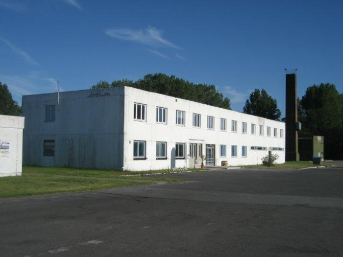
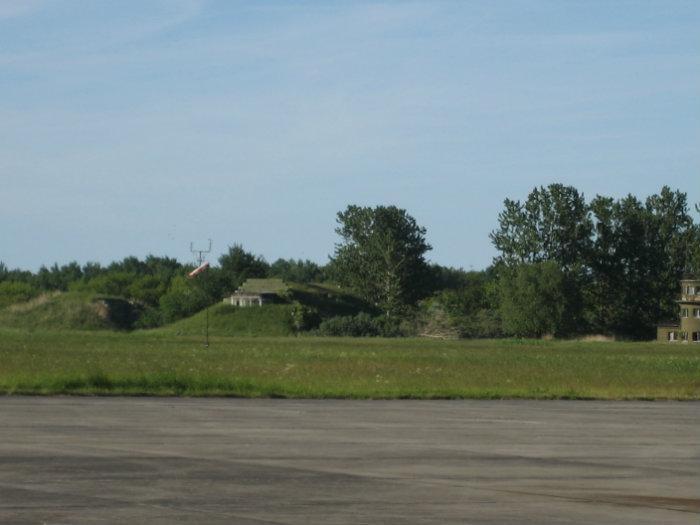
Peenemünde Airfield
Germany /
Mecklenburg-Vorpommern /
Peenemunde /
World
/ Germany
/ Mecklenburg-Vorpommern
/ Peenemunde
World / Poland / West Pomeranian
airport, former air force base


Wikipedia article: https://en.wikipedia.org/wiki/Peenemünde_Airfield
Nearby cities:
Coordinates: 54°9'33"N 13°46'12"E
- Szczecin-Goleniów International Airport 96 km
- Jever Air Base 103 km
- Kluczewo Airfield 123 km
- Swidwin Air Base 139 km
- Chojna - former Soviet airbase 140 km
- Airport in Zegrze Pomorskie (EPKO) 161 km
- Miroslawiec 12th Air Base 172 km
- Copenhagen Airport (Kastrup) (CPH/EKCH) 180 km
- Central Polish Air Force Range 186 km
- Nadarzyce airforce proving ground / Poligon lotniczy Nadarzyce 190 km
- Runway 13/31 0.3 km
- Taxiway 0.3 km
- Remains of Development Works (EW) of the former Heeresversuchsanstalt Peenemünde 3 km
- WW II - Peenemunde missiles development base 3.2 km
- former Teststand XII / Prüfstand XII 3.9 km
- intended further Teststand for A4/V2 / Prüfstand XIII 4.7 km
- Solar park 15 km
- Solar park 20 km
- Usedom Island 26 km
- Bay of Pomerania 46 km
Comments