Hagåtña
Guam /
Agana Heights /
Negara Guam
World
/ Guam
/ Agana Heights
/ Agana Heights
city, capital city of state/province/region, capital city of country
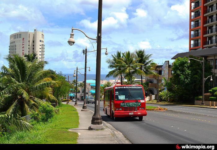
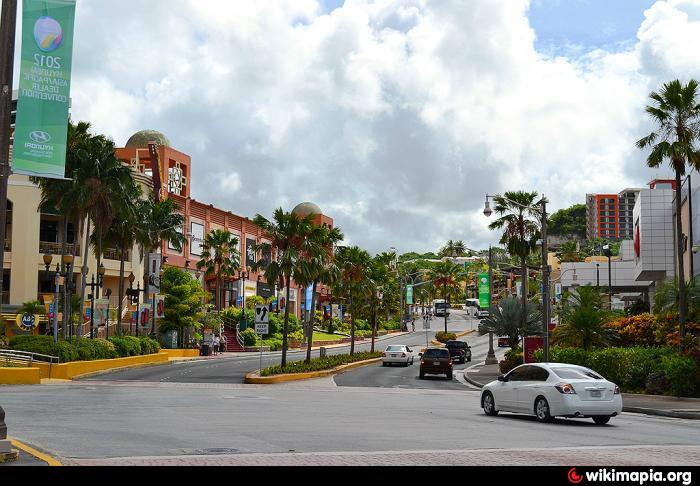
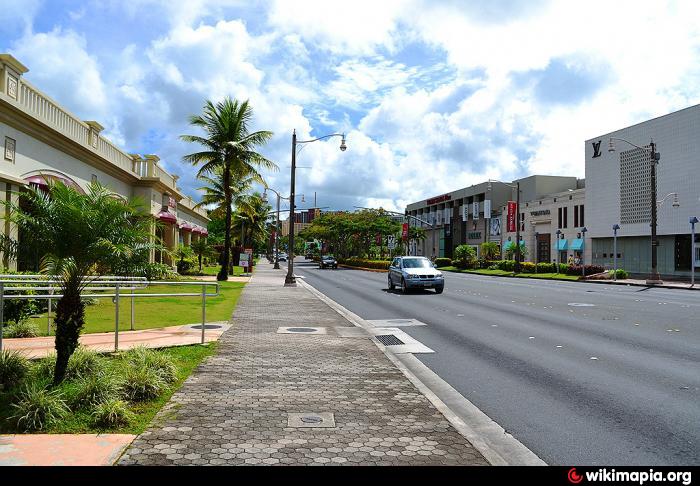
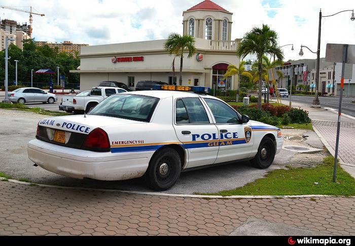
Village with a population of 1,100 at the 2010 census; capital of the American territory of Guam. The name means "his or her blood" in the native Chamorro language, a name used for the village before European arrival. The first European exploration was a mission by Spaniard Padre San Vitores in 1668. The Spanish forced most of the indigenous population of the island to relocate to the village. The island was ceded to the United States in 1898 as a result of the Spanish-American War and the city was renamed Agana. By 1940 the village's population was 10,000. The Japanese captured the city in 1941 at the beginning of the Pacific Campaign of World War Two. In 1944 the Americans recaptured the island and much of the city was destroyed by naval bombardment. The city was rebuilt by the US Navy after the war. In 1998 the territorial legislature changed its name back to the original native Hagatna.
Wikipedia article: http://en.wikipedia.org/wiki/Hagåtña,_Guam
Nearby cities:
Coordinates: 13°28'26"N 144°44'55"E
- Pyongyang 3437 km
- Bangkok 4797 km
- Baku 9500 km
- Moscow 9854 km
- Baghdad Governorate (Capital) 10168 km
- Al Riyadh 10205 km
- Berlin 11346 km
- Distrito Federal 12109 km
- City of Ottawa, Ontario 12278 km
- Lima 15484 km
- U.S. Naval Hospital Guam 0.9 km
- Asan 3.4 km
- Guam 5.4 km
- Piti Bay 5.7 km
- Naval Fuel Facilities 5.8 km
- Castella, Guam 6.5 km
- Leo Palace Resort 7 km
- Shell Agat Terminal 8.8 km
- Polaris Point Submarine Base 9 km
- Naval Base Guam 12 km