Uncle Tom's Trail Area
USA /
Montana /
Gardiner /
South Rim Drive
World
/ USA
/ Montana
/ Gardiner
World / United States / Wyoming
panoramic view, trailhead
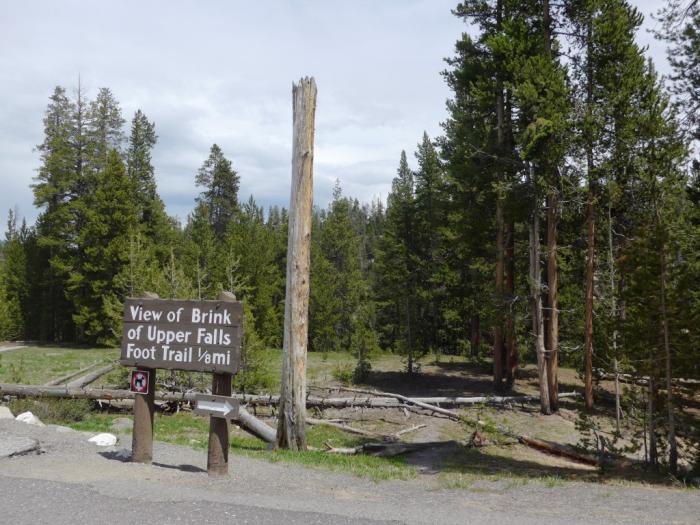

Parking for Uncle Tom's Trail and viewing area for the Upper Falls of the Yellowstone. Several other trails start from here as well.
Nearby cities:
Coordinates: 44°42'51"N 110°29'48"W
- Green River Lakes Trailhead 164 km
- Devils Orchard Nature Trail 281 km
- Monte Cristo Trailhead and Parking Lot 378 km
- Avalanche Creek Campground 509 km
- Trail of the Coeur d'Alenes trailhead 574 km
- Sinclair Creek Trailhead 779 km
- Cloud Cap Inn - Elliot Glacier Trailhead 880 km
- Iron Goat Trail rest area 886 km
- Cougar Mountain Red Town Trainlead 950 km
- Squalicum Creek Park 1020 km
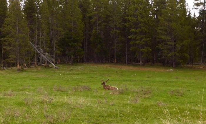
- Hayden Valley 6.1 km
- Grebe Lake 6.4 km
- Yellowstone National Park 11 km
- The Grand Canyon of the Yellowstone 13 km
- Norris Geyser Basin 17 km
- Gibbon Meadow 20 km
- Grizzly Lake 24 km
- Yellowstone Caldera 24 km
- Mammoth Hot Springs 33 km
- Gardiner, Montana 42 km