Object 7-a
Ukraine /
Krym /
Shchebetovka /
World
/ Ukraine
/ Krym
/ Shchebetovka
, 8 km from center (Щебетовка)
World / Ukraine / Crimea
military, draw only border, underground facility
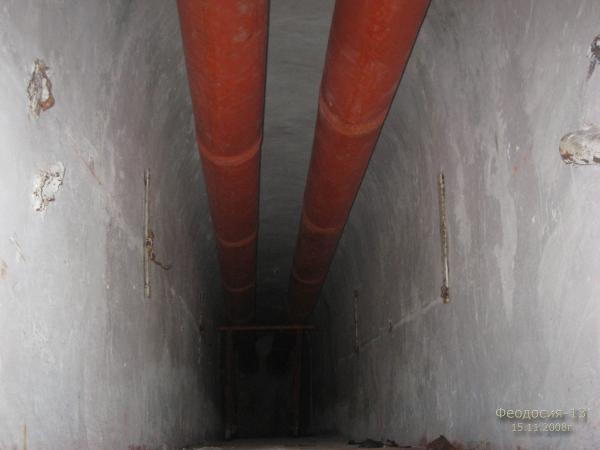
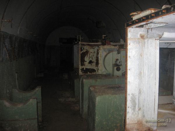
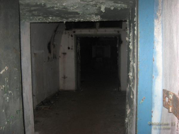
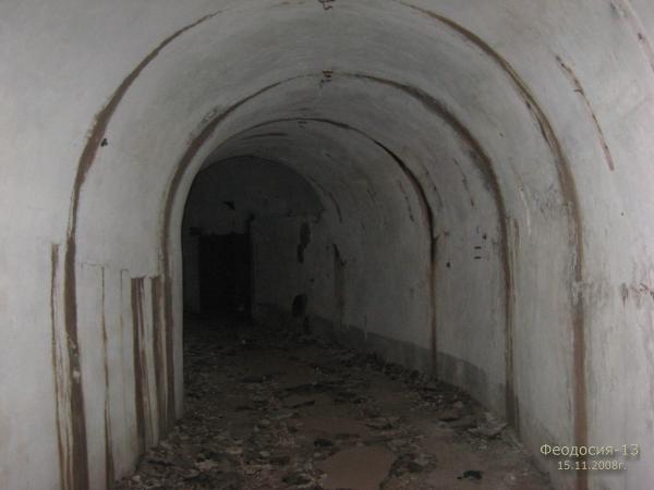
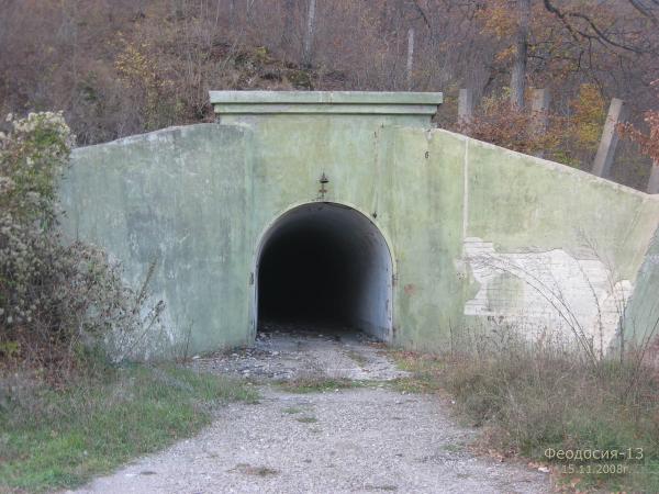
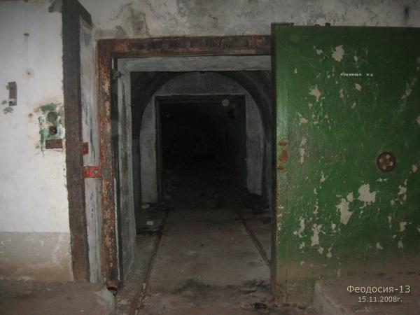
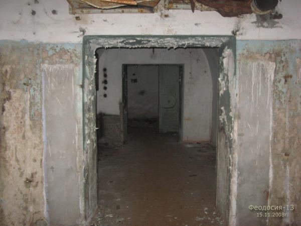
One of the Nuclear weapon arsenals.
Nearby cities:
Coordinates: 44°55'4"N 35°4'43"E
- Former military town 19 km
- Military Shooting ground 20 km
- Torpedo factory Gidropribor 23 km
- Military Aerial Field 49 km
- Military unit of the Ministry of Defense of Russia 60 km
- Rocket-Artillery Ground Range N 31 62 km
- Former shooting ground 63 km
- Military unit 95 km
- Soviet Space Tracking Station NIP-10 Simpheropol 95 km
- Site of the sinking of the warship 'Sergey Kotov' 113 km
- Urbash mountain 2.1 km
- Socharchikon-Kaya mountain 2.3 km
- Sandyk-Kaya mountain 2.6 km
- Chukur-Kaia mountain 2.8 km
- Echki-Dag mountain ridge 3.9 km
- Kurban-Kaya mountain 4 km
- Buruntay-Kaia mountain 4.6 km
- Buran-Tash gully 5.4 km
- Tuar-Alan ridge 5.7 km
- Ardy-Kaya mountain 7.9 km
Comments