Khadzhybeiskyi Liman
Ukraine /
Odeska /
Dachne /
World
/ Ukraine
/ Odeska
/ Dachne
, 12 km from center (Дачне)
World / Ukraine / Odessa
lake, water, estuary
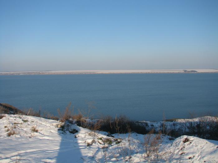
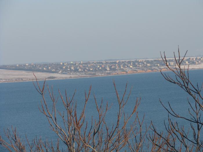
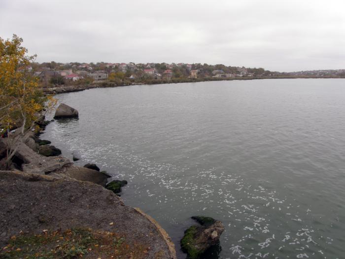
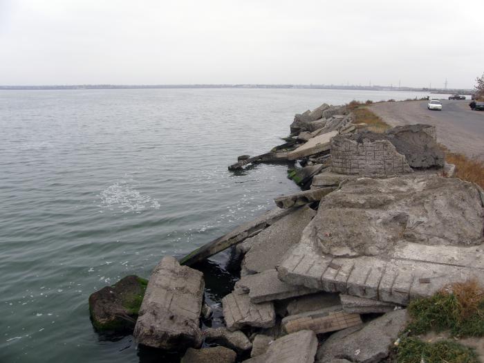
Khadzhybeiskyi Liman, or Khadzhybei Estuary (Ukrainian: Хаджибейський лиман, Turkish: Haci Bey liman), is an estuary of the north-western part of the Black Sea, located on the north-west from the City of Odesa.
It is named after the former Khadzhybei fortress.
The estuary is separated from the sea by the sandbar, which has about 5 km length.
The length of the estuary is 31 km, width 0.5–2.5 km, square 70 km2, depth up to 2.5 m.
It is named after the former Khadzhybei fortress.
The estuary is separated from the sea by the sandbar, which has about 5 km length.
The length of the estuary is 31 km, width 0.5–2.5 km, square 70 km2, depth up to 2.5 m.
Wikipedia article: http://en.wikipedia.org/wiki/Khadzhibey_Estuary
Nearby cities:
Coordinates: 46°42'22"N 30°33'41"E
- Kuialnyk Liman 9 km
- Small Adzhalyk / Hryhorivskyi Estuary 30 km
- Dnister Liman 49 km
- Tylihul Liman 51 km
- Berezan Liman 67 km
- Sosytsky estuary 67 km
- Dnieper Liman 73 km
- Bug Liman 103 km
- Kalanchak estuary 205 km
- Utliukskyi Liman 353 km
- Shell rock mine "Iris" 2.5 km
- Canaan 5 km
- Summer residence site " Radost' " 6.5 km
- Pokrovske Rally Circuit 7.5 km
- Summer cottage area 8.5 km
- Verkhniy forest 13 km
- Severynivka Rally Circuit 14 km
- Biliaivka Raion 23 km
- Ivanivka Raion 27 km
- Rozdilna Raion 31 km