Lower Macakheli
Georgia /
Ajaria /
Keda /
World
/ Georgia
/ Ajaria
/ Keda
World / Turkey / Artvin
draw only border
Add category
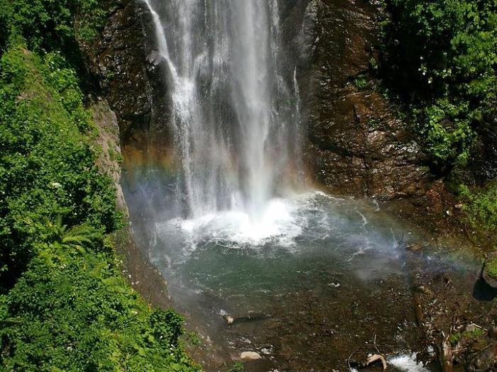
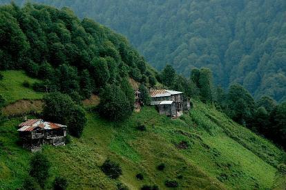
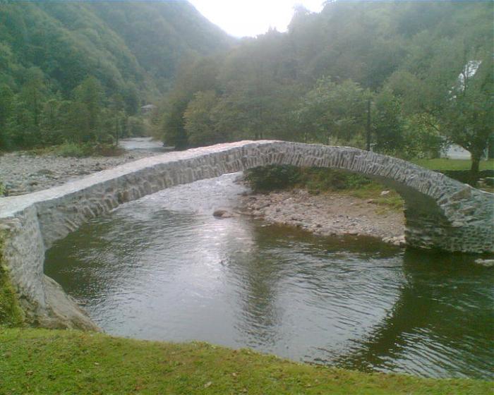
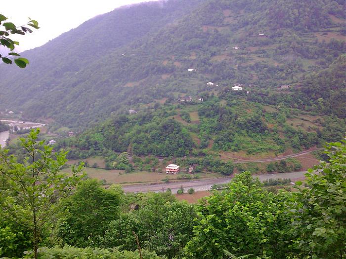
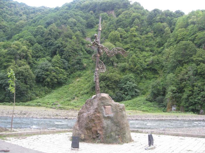
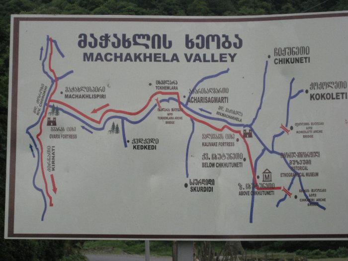
Historical region and valley in Georgia Autonomous Republic of Adjara consists of about 12 villages.
It is bordered by Upper Machakheli, which is part of Turkey.
The region took its current form in 1921 with the border agreement between the Soviet Union (Russia) and Turkey. According to the agreement, 12 of the 18 villages of the valley remained within the borders of Georgia and 6 within the borders of Turkey.
Wikipedia article: http://en.wikipedia.org/wiki/Machakheli
Nearby cities:
Coordinates: 41°28'53"N 41°49'32"E
- Ardanuç (district) 10 km
- Keda District 25 km
- Borçka (district) 25 km
- Artvin District 32 km
- Khelvachauri District 32 km
- Kobuleti District 49 km
- Artvin (Province) 56 km
- Ozurgeti District 62 km
- Fındıklı (district) 63 km
- Ardeşen (district) 77 km
- Khedismta, 2151m 5.6 km
- Kobaleti 8.3 km
- Zeda Kirnati 8.3 km
- Shushaneti 8.4 km
- BORDER POLICE OF THE MIA OF GEORGIA 8.9 km
- Cemetery 10 km
- Cemetery 10 km
- Shavsheti ridge 12 km
- ridge 13 km
- Saomokhreo 14 km