Tinovul Mohos (ro)-Mohos Peat-Bog
Romania /
Harghita /
Baile Tusnad /
World
/ Romania
/ Harghita
/ Baile Tusnad
World / Romania
swamp, caldera, nature reserve, peatbog, crater lake

Tinovul Mohos lies next to St. Ana Lake.
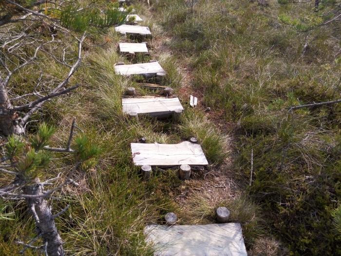
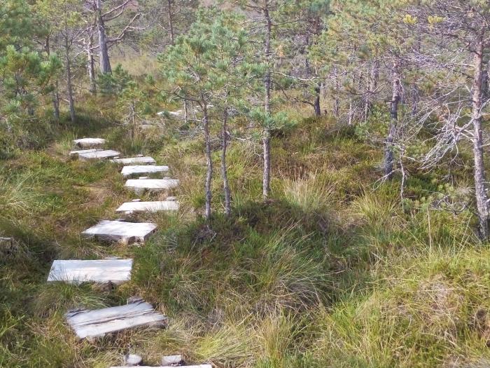
It is a florist reservation with various rare plants.
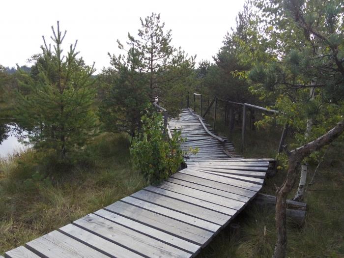
1056 meters high, the reservation can be explored only with a guide. (Tickets are bought at the entry to the reservation, you can't miss it)
History of Mohos Peat-Bog:
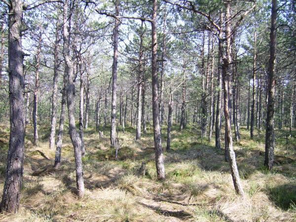
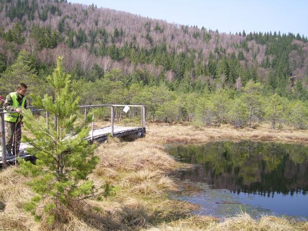
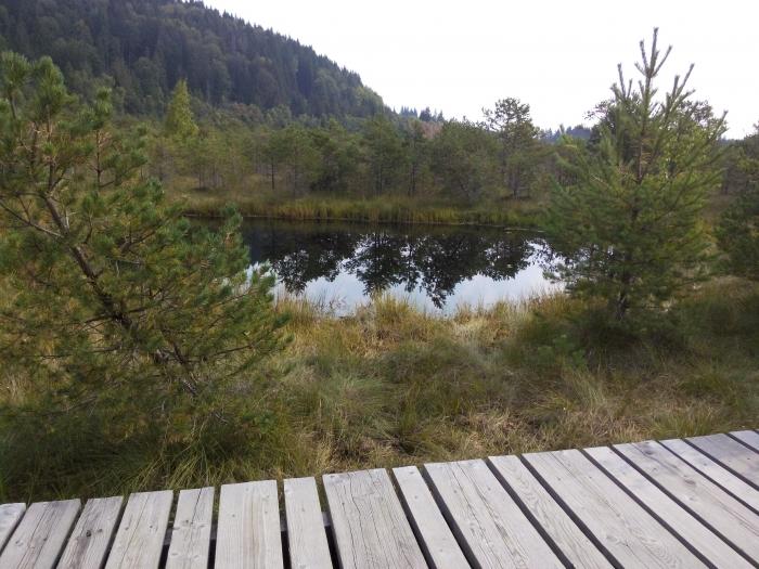
In the beginning, there were two volcanoes: Mohos and St. Ana. Mohos died out and a lake was formed on top of it. Later on (~11.000 years ago), St. Ana blew up (also starting the formation of the lake there is today) and the volcanic ash, carried by the wind, settled at the surface of Mohos lake, forming a bed of fertile soil. In time, plants grew and died on it, and so formed a lair of peat. This lair is nowadays 15 meters in some areas of the peat-bog, and thinner in others. 150 years ago, there were reported 32 small lakes (places where water wasn't covered by peat/soil) in Mohos. Today, there are only 15 (?). The deepest is 14 m deep, and the largest in surface has ~300 sq meters. Mohos is continuously being covered up - it's a natural process. Because the peat is thinner in the middle, the trees (pines) have only grown to 1.5 - 2 meters. They're called "midget pines".
Tours are presented in Romanian, Hungarian and English.
It is a florist reservation with various rare plants.
1056 meters high, the reservation can be explored only with a guide. (Tickets are bought at the entry to the reservation, you can't miss it)
History of Mohos Peat-Bog:
In the beginning, there were two volcanoes: Mohos and St. Ana. Mohos died out and a lake was formed on top of it. Later on (~11.000 years ago), St. Ana blew up (also starting the formation of the lake there is today) and the volcanic ash, carried by the wind, settled at the surface of Mohos lake, forming a bed of fertile soil. In time, plants grew and died on it, and so formed a lair of peat. This lair is nowadays 15 meters in some areas of the peat-bog, and thinner in others. 150 years ago, there were reported 32 small lakes (places where water wasn't covered by peat/soil) in Mohos. Today, there are only 15 (?). The deepest is 14 m deep, and the largest in surface has ~300 sq meters. Mohos is continuously being covered up - it's a natural process. Because the peat is thinner in the middle, the trees (pines) have only grown to 1.5 - 2 meters. They're called "midget pines".
Tours are presented in Romanian, Hungarian and English.
Nearby cities:
Coordinates: 46°7'58"N 25°54'15"E
- Big Island of Brăila (Insula Mare a Brăilei) 182 km
- "Balta Ialomiţei" Island 191 km
- Delta mică 223 km
- Krapinets 239 km
- Topraichioi Lake 253 km
- "Blatno Kokiche" Protected Site 351 km
- "Blatoto Alepu" Protected Site 443 km
- Kefalne Lake 488 km
- Monospitovsko Blato 584 km
- Acid tailings pond of Titan plant 598 km
- Ciomadul (Csomád, Saint Anna) 0.4 km
- Mohos (Mohos-tető) 1.4 km
- Saint Ana Lake 1.5 km
- Haramul Mare (Nagy Haram) 2.8 km
- Mineral water spring Bixad 4 km
- Haramul Mic (Kis-Haram) 5.3 km
- Pilisca volcano 5.9 km
- Bodoc Mountains 13 km
- Harghita Mountains 30 km
- Harghita County 63 km