Queens Midtown Tunnel
USA /
New Jersey /
West New York /
World
/ USA
/ New Jersey
/ West New York
World / United States / New York
tunnel, invisible, 1940_construction, 1940s construction
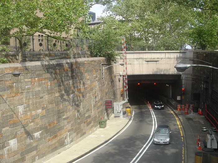
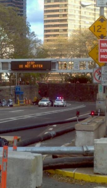
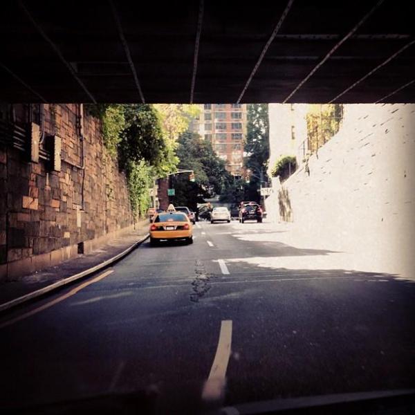
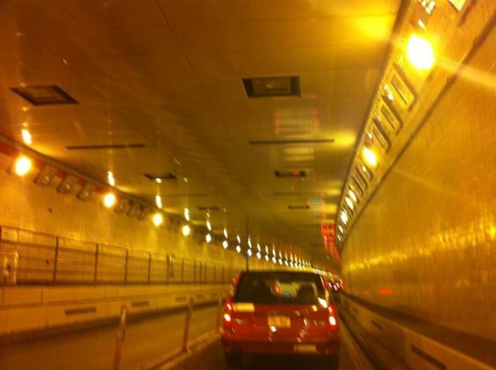
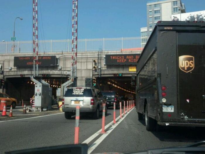
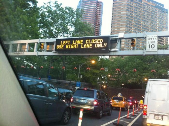
The Queens–Midtown Tunnel (sometimes simply known as the Midtown Tunnel) is a highway tunnel and toll road in New York City. It crosses under the East River and connects the Borough of Queens (at the Long Island City terminus of I-495, the Long Island Expressway) on Long Island with the Borough of Manhattan (between the major crosstown thoroughfares of East 34th Street and East 42nd Street in the Midtown Manhattan area). Designed by Ole Singstad, it was opened to traffic on November 15, 1940. The tunnel consists of twin tubes carrying four traffic lanes and is 6,414 feet (1,955 m) long. It once carried New York State Route 24.
Wikipedia article: http://en.wikipedia.org/wiki/Queens–Midtown_Tunnel
Nearby cities:
Coordinates: 40°44'40"N 73°57'48"W
This article is protected.
- Amtrak East River Tunnels 2.4 km
- Lincoln Tunnel 5.6 km
- Hugh L. Carey Tunnel 6.2 km
- Holland Tunnel 6.3 km
- Amtrak North River Tunnels 7.3 km
- NYC Port Morris Branch / 'The Bronx Swamp' (Abandoned) 10 km
- Baltimore Harbor Tunnel 277 km
- Chesapeake Bay Bridge Tunnel 445 km
- Hampton Roads Bridge-Tunnel 463 km
- Monitor-Merrimac Memorial Bridge-Tunnel 472 km
- Hunter's Point South Waterfront Park 0.4 km
- Gantry Plaza State Park 0.4 km
- Queens West 0.5 km
- One United Nations Park Condominium 0.6 km
- Hunters Point 0.9 km
- Murray Hill 1.1 km
- Long Island City (Downtown) 1.2 km
- Midtown (Manhattan, NY) 1.9 km
- Greenpoint 3.3 km
- Sunnyside 3.3 km