Furka
Macedonia /
Gevgelija /
Bogdanci /
World
/ Macedonia
/ Gevgelija
/ Bogdanci
, 6 km from center (Богданци)
World / Republic of Macedonia / Southeastern
village
Add category
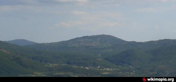
Furka (Macedonian: Фурка) is a village in the south-eastern part of North Macedonia. It is situated in the center of the triangle between Bogdanci, Dojran and Valandovo, 10 km far from Dojran. East of the river Vardar, Pugana and Gabroshka Reka, and west of Dojran basin, at an altitude above sea-level of 350 m, but the highest peak is 456 m. All around the village there are little heights, composed of sandy soil and rocks of granite. There is vine and fruit growing. The population is about 570 people.
Furka is part of the municipality of Dojran, which is one of the most popular tourist places in North Macedonia.
The name
Stjepan Antoljak says that Furka was the place where Byzantine king Vassilius in Furka had blinded the soldiers of Samuil of Bulgaria, and that the origin of the name is the Greek word "furka", which means "place of execution". This theory is considered as incorrect. Aleksandar Stojanovski thinks that origin of the name is from Turkish word "fursat" (bad people), because villagers had never allowed Turkish people to come to live in Furka. The origin of the name of Furka is still unknown.
History
According to historical sources Furka existed at least 1000 years.
During the period of Turkish occupation of the country. Furka was settled 2.5 km north from the village of today. The village had a few hostelries and 50 families, on the road Skopje - Solun (Thessaloniki) and the road between Istanbul and Albania.
In 1530 Furka is mentioned as a derven village. Except for agriculture, people were occupied with dervening. They had taken the responsibility to keep the road Valandovo - Dojran, on which Furka was settled, from Turkish rebels. At the derven place, one male of every family stood guard every day. Therefore, some historians believe that on the name Furka, for a few decades, was added the name "derven".
In 1573 Furka was a big town with 125 families.
In the second half of the eighteenth century, people started to move from old Furka and settled the village of today, 2.5 km north of the old village. By the legend, three monks who passed through Furka stopped to spend the night in one of the hostelries, but they were brutally killed by Turkish rebels. People were scared of the frequent attacks and started to move. The location of old Furka today is called Anishte (hostelries).
They continued with agriculture, and in 1878 they built the new church Sveti Ilija (Saint Eliyah).
Wikipedia article: http://en.wikipedia.org/wiki/Furka,_North_Macedonia
Nearby cities:
Coordinates: 41°14'35"N 22°36'48"E
- Nov Dojran 7.1 km
- Sretenovo 11 km
- Kuklish 19 km
- Banica 23 km
- Plagia 24 km
- Bosilovo 24 km
- Platanakia 28 km
- Novo Selo 29 km
- Parvomay 47 km
- Gyurgevo 53 km
- Bandera 3.9 km
- Pogana 4.3 km
- Municipality of Dojran 4.9 km
- Boska 6.4 km
- Municipality of Bogdanci 6.8 km
- Karabalija mt. 8.4 km
- Selemlisko Pole 8.6 km
- Battle of Doiran 9 km
- Municipality of Valandovo 12 km
- Peripheral unit of Kilkis 23 km