Sanborn Square (Boca Raton, Florida)
USA /
Florida /
Boca Raton /
Boca Raton, Florida /
Federal Highway (U.S. Route 1), 72
World
/ USA
/ Florida
/ Boca Raton
World / United States / Florida
park
Add category
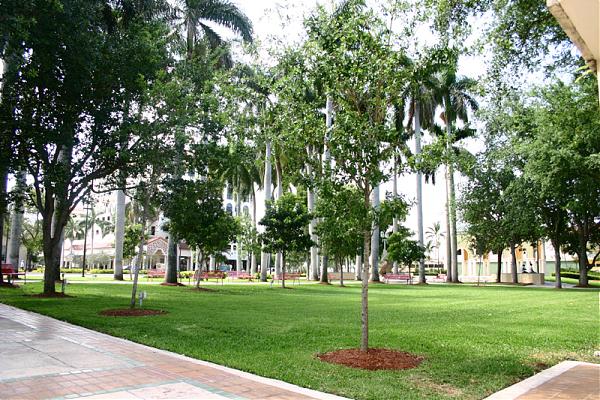
A city park created from donated land in 1955. It has fountains, trees, and sculptures, and is located across from the Old Boca Raton City Hall.
Nearby cities:
Coordinates: 26°21'4"N 80°5'9"W
- Yamato Scrub Natural Area 7.4 km
- John U. Lloyd Beach State Park 29 km
- John Prince Park 30 km
- West Lake Park 32 km
- Oleta River State Park and Recreation Area 47 km
- Arch Creek East Environmental Preserve 49 km
- Dyer Park 50 km
- John D. MacArthur Beach State Park 54 km
- Nathaniel P. Reed Hobe Sound National Wildlife Refuge 77 km
- Jonathan Dickinson State Park 78 km
- Boca Square 2.6 km
- Boca del Mar 5.5 km
- Deer Creek 6.3 km
- Century Village East 7 km
- Pompano Beach Highlands 7.4 km
- Pompano Estates (Protecta) 8.3 km
- Collier Manor - Cresthaven 10 km
- Broward County Landfill 11 km
- Broward County, Florida 45 km
- Palm Beach County, Florida 49 km