Saddle Mountain
USA /
Oregon /
Gearhart /
World
/ USA
/ Oregon
/ Gearhart
World / United States / Oregon
mountain
Add category
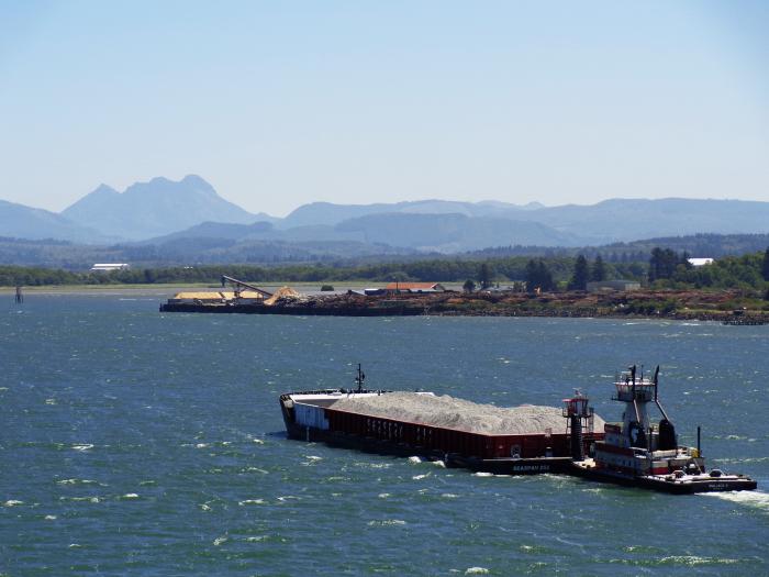
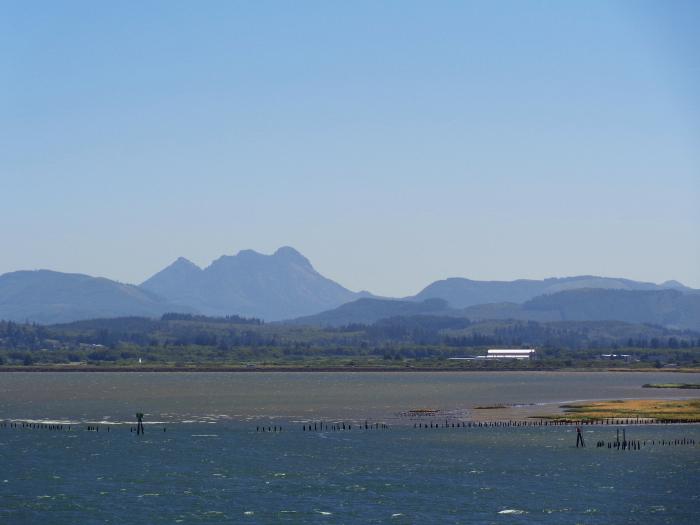
Saddle Mountain reaches an elevation of 3,288 feet. The mountain was created around 15 million years ago when lava flows poured down the old Columbia River valley. When the lava encountered the water at the Astoria Sea, great steam explosions and thermal shocks occurred to create a large pile of basalt rocks. Hiking to the top is a diffucult climb toward the end... but great view from the top... you can actually see the outline of Oregon's northwest "horn"!
Wikipedia article: http://en.wikipedia.org/wiki/Saddle_Mountain_(Clatsop_County,_Oregon)
Nearby cities:
Coordinates: 45°58'9"N 123°41'1"W
- Cooper Mountain 82 km
- Newaukum Hill 91 km
- Logan Hill 99 km
- Mount St. Helens National Volcanic Monument 115 km
- Mount St. Helens 116 km
- Mount Hood 165 km
- Mount Adams 167 km
- Tatoosh Range 170 km
- Mount Rainier 176 km
- Goat Rocks 182 km
- Saddle Mountain State Natural Area 0.4 km
- Banks Vernonia State Park 38 km
- Hayward 51 km
- Manning, Oregon 52 km
- Balm Grove 53 km
- Kansas City 58 km
- Thatcher 59 km
- Mountaindale 60 km
- Greenville 62 km
- Schefflin 67 km