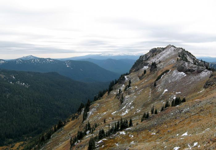
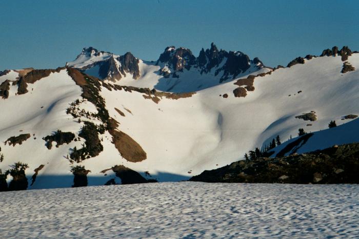
Goat Rocks
USA /
Washington /
Trout Lake /
World
/ USA
/ Washington
/ Trout Lake
World / United States / Washington
mountain, draw only border

Wikipedia article: http://en.wikipedia.org/wiki/Goat_Rocks
Nearby cities:
Coordinates: 46°29'26"N 121°25'5"W
- Mount Adams 28 km
- Tatoosh Range 43 km
- Goat Island Mountain 50 km
- Mount Rainier 57 km
- Mount St. Helens 69 km
- Mount St. Helens National Volcanic Monument 72 km
- Logan Hill 115 km
- Newaukum Hill 123 km
- Mount Hood 124 km
- Cooper Mountain 162 km
- McCall Glacier 3 km
- Walupt Lake 8.8 km
- Takh Takh Lava Flow 26 km
- Rusk Glacier 32 km
- Mount Adams 33 km
- Animism Simcoe Hawk Plateau 35 km
- A. G Akien Lava Flow 41 km
- Gifford Pinchot National Forest 47 km
- Yakama Indian Reservation 59 km
- Wenatchee National Forest 117 km
Comments