Mount Ruapehu
New Zealand /
Manawatu-Wanganui /
Ohakune /
World
/ New Zealand
/ Manawatu-Wanganui
/ Ohakune
World / New Zealand / Manawatu-Wanganui / Ruapehu
volcano
Add category

Elevation: 2797 meters (9177 feet)
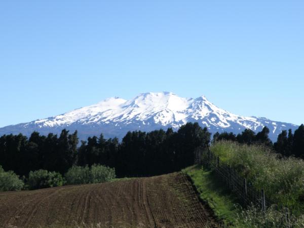
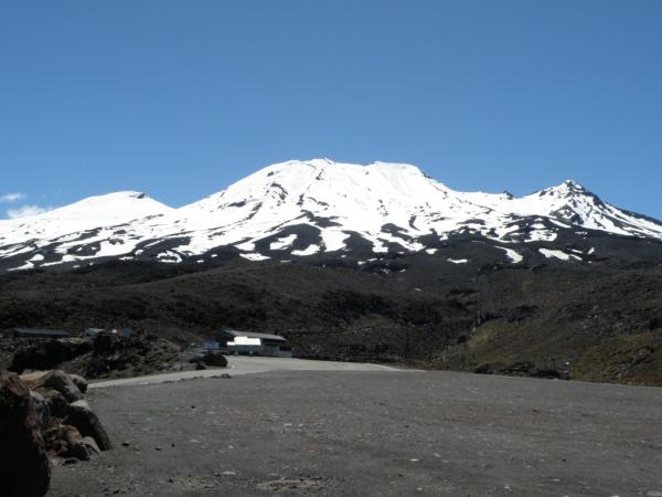
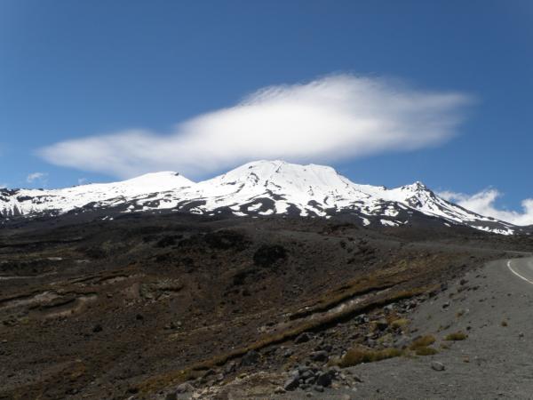
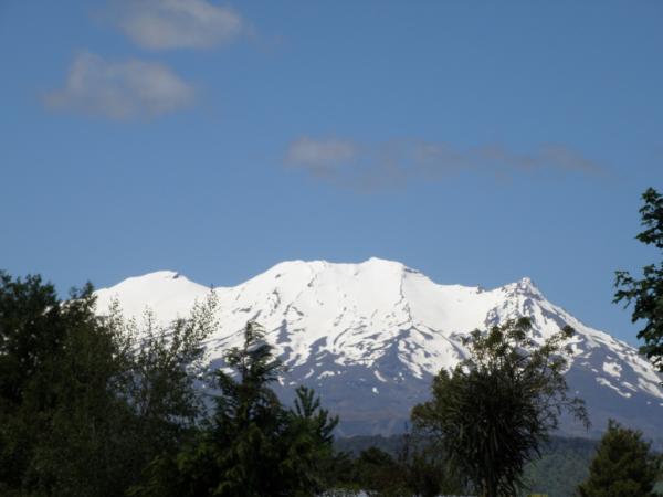
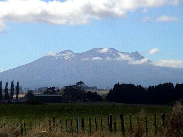
Mount Ruapehu is an active stratovolcano at the southern end of the Taupo Volcanic Zone in New Zealand. It is the largest active volcano in New Zealand.
It is the highest point in the North Island and includes three major peaks: Tahurangi (2,797 m), Te Heuheu (2,755 m) and Paretetaitonga (2,751 m).
The deep, active crater is between the peaks and fills with a crater lake between major eruptions.
peakbagger.com/peak.aspx?pid=11667
caltopo.com/map.html#ll=-39.28229,175.5629&z=14&b=t&o=r...
Wikipedia article: http://en.wikipedia.org/wiki/Mount_Ruapehu
Nearby cities:
Coordinates: 39°16'56"S 175°33'46"E
- Lake Taupo 71 km
- Maroa Caldera 112 km
- Newer Volcanics Province 2919 km
- Volcano Pleiades 3754 km
- Long Island 4758 km
- Giant Volcano - undersea Sumatra 8565 km
- Pilanesberg Alkaline Ring Complex 12159 km
- Chyulu Hills 13713 km
- Mount Kenya 13956 km
- Bunyaruguru/Kichwambe Volcanic Field 14422 km
- Turoa Ski Area 2.6 km
- Whakapapa Ski Area 3.9 km
- Tongariro National Park 8.2 km
- Lake Rotoaira 29 km
- Lake Rotopounamu 32 km
- Lake Otamangakau 32 km
- Mount Tihia 35 km
- Pukekaikiore 46 km
- Lake Kuratau 48 km
- Whanganui National Park 61 km