Famagusta Municipality/Town Hall (Gazimağusa)
Cyprus /
Turkish controlled area /
Gazimagusa /
Gazimağusa
World
/ Cyprus
/ Turkish controlled area
/ Gazimagusa
World / Cyprus
guildhall
Add category
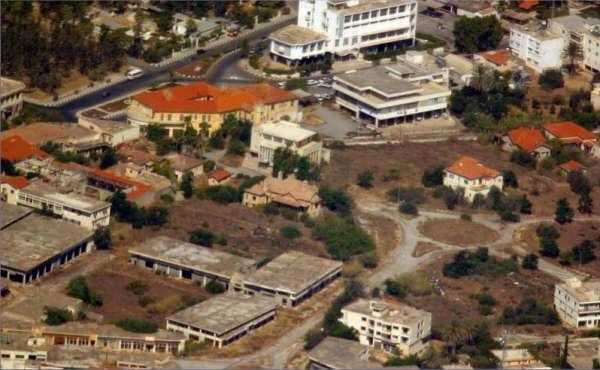

Famagusta Municipality/Town Hall is a guildhall located in Gazimağusa. Famagusta Municipality/Town Hall - Gazimağusa on the map.
Nearby cities:
Coordinates: 35°6'56"N 33°56'42"E
- Yenişehir Belediye Binası & Güneş Park 196 km
- Aarsal new city hall 250 km
- Mevo'ot HaHermon Regional Council Office 268 km
- Kaduri 300 km
- بلدة مرحبا 331 km
- Shlomtzion Arvot Ha Yarden Regional Council 365 km
- منزل السيد منصور العنداري 374 km
- Kobane Canton Council 442 km
- Governorate of Ninawah province building 841 km
- Kirkuk Governorate Council 948 km
- Famagusta Castle & Inner Town 1.1 km
- Port Of Famagusta 1.5 km
- Famagusta Free Port Zone 2.1 km
- (Closed) Maraş 2.1 km
- Famagusta Small-Scale Industrial Area 2.1 km
- Lands Granted to Children of Victims of '63-74 2.5 km
- KAROALOS CAMP 3.9 km
- Turkish Cypriot Armed Forces - 4th Infantry Troops Regiment, Gulseren Barracks 4.3 km
- Famagusta Bay 5.7 km
- Famagusta District 14 km
Comments