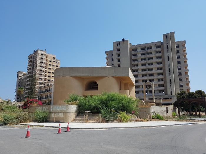
Ayia Trias Church (Gazimağusa)
Cyprus /
Turkish controlled area /
Gazimagusa /
Gazimağusa
World
/ Cyprus
/ Turkish controlled area
/ Gazimagusa
World / Cyprus
closed, Greek Orthodox Church, Orthodox church


Nearby cities:
Coordinates: 35°7'0"N 33°57'26"E
- Runway 16/34 43 km
- Amiantos mine 98 km
- Baalbek Iaat airport (closed) 234 km
- Completed section of road 250 km
- Mostly-completed section of road 260 km
- Tractor factory 324 km
- Former Atarot Airport (JRS/LLJR) 379 km
- Maleme Air Field 921 km
- Nairit Chemicals Plant (does not operate) 1083 km
- Sanaa International Airport 2411 km
- (Closed) Maraş 1.6 km
- Famagusta Castle & Inner Town 1.7 km
- Port Of Famagusta 1.8 km
- Famagusta Free Port Zone 2.6 km
- Famagusta Small-Scale Industrial Area 3.1 km
- Lands Granted to Children of Victims of '63-74 3.5 km
- KAROALOS CAMP 4.5 km
- Famagusta Bay 4.8 km
- Turkish Cypriot Armed Forces - 4th Infantry Troops Regiment, Gulseren Barracks 4.9 km
- Famagusta District 15 km