Pymatuning Reservoir
USA /
Pennsylvania /
Linesville /
World
/ USA
/ Pennsylvania
/ Linesville
World / United States / Pennsylvania
fishing area, reservoir lake, boating
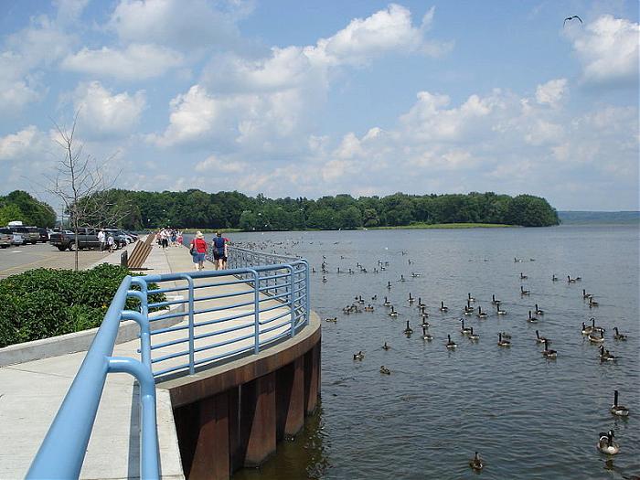
The Pymatuning Reservoir is a man-made lake completed in 1934. It was created to take water from Shenango River via the Jamestown Dam. The lake serves as a water supply for the Shenango Valley and Beaver Valley. It is part of Pymatuning State Park, and is also used for recreational activities such as fishing and boating.
Wikipedia article: http://en.wikipedia.org/wiki/Pymatuning_Reservoir
Nearby cities:
Coordinates: 41°35'25"N 80°28'10"W
- Caesar Creek State Park 379 km
- Indian Lake Island New York State DEC Campground 552 km
- Rough River Lake 676 km
- Sebago Lake 844 km
- Lake Rathbun 1062 km
- Seminole Ranch Conservation Area 1436 km
- Calamus State Recreation Area & Calamus Reservoir 1564 km
- Lake Buchanan 1999 km
- Folsom Lake 3441 km
- Lake Berryessa 3544 km
- Pymatuning State Park 0.8 km
- State Game Land 214 6.7 km
- Jamestown Campsite 8.1 km
- Conneaut Lake 14 km
- Conneautville, Pennsylvania 21 km
- Keystone Ordinance Works (Now Abandoned) 21 km
- TNT Storage Igloos / Bunkers 22 km
- Geneva Marsh 24 km
- Round Top 25 km
- Crawford County, Pennsylvania 35 km