Pesochnaya bay
Ukraine /
Sevastopol /
World
/ Ukraine
/ Sevastopol
/ Sevastopol
, 5 km from center (Севастополь)
World / Ukraine / Sevastopol'
water, bay, invisible
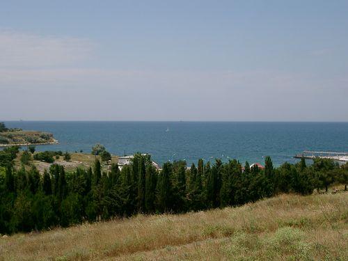
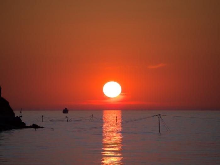
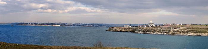
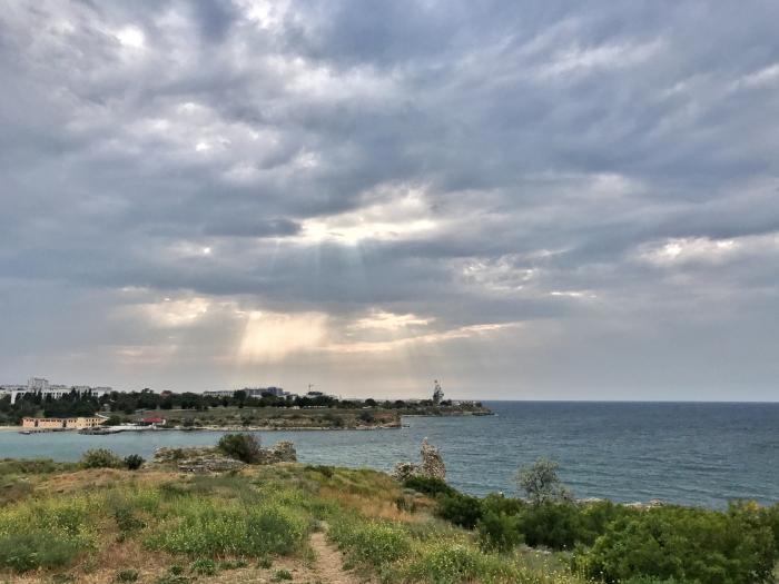
Sandy bay.
Located in Gagarinsky district of Sevastopol 2 km east of the southern entrance pier of Sevastopol bay.
This name of the bay can be explained by the nature of its bottom – sand and sandy beach around it.
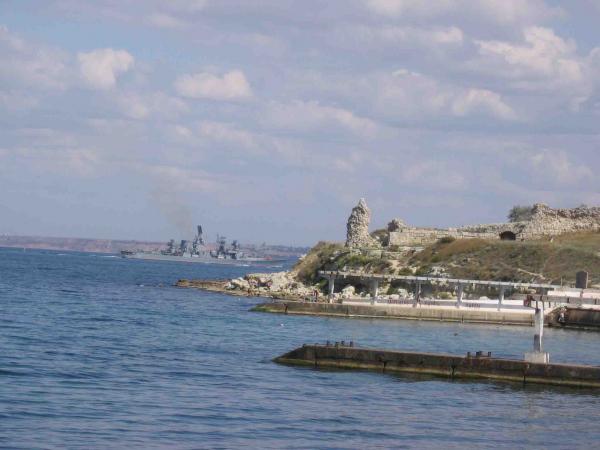
The bay also had other names: Khersones bay (in the middle of 19th century), Shmidt bay (first half – middle of 20th century.)
Located in Gagarinsky district of Sevastopol 2 km east of the southern entrance pier of Sevastopol bay.
This name of the bay can be explained by the nature of its bottom – sand and sandy beach around it.
The bay also had other names: Khersones bay (in the middle of 19th century), Shmidt bay (first half – middle of 20th century.)
Nearby cities:
Coordinates: 44°36'35"N 33°28'58"E
- Kalamit Bay 68 km
- Dzharylhach Bay 184 km
- Karkinit Bay 189 km
- Gulf of Tendra 239 km
- Yahorlytska Bay 251 km
- Bug Liman 289 km
- Berezan Estuary 296 km
- Dnister Liman 331 km
- Lake Sasyk (Kunduk) 333 km
- Bay of Burgas 537 km
- ulitsa Yefremova/vulytsia Yefremova, 38 0.3 km
- Western necropolis of Chersonesos 0.4 km
- Admiral Pavel Nakhimov the Order of the Red Star Black Sea Higher Naval School 0.5 km
- cape Fedotov 0.6 km
- State Museum-Preserve Tauric Chersonesos 0.7 km
- Water area of the reserve 0.8 km
- Strelka 1.2 km
- Streletskiy cape 1.3 km
- President's Cadet College 1.4 km
- Heracles Peninsula 6.4 km
ulitsa Yefremova/vulytsia Yefremova, 38
Western necropolis of Chersonesos
Admiral Pavel Nakhimov the Order of the Red Star Black Sea Higher Naval School
cape Fedotov
State Museum-Preserve Tauric Chersonesos
Water area of the reserve
Strelka
Streletskiy cape
President's Cadet College
Heracles Peninsula