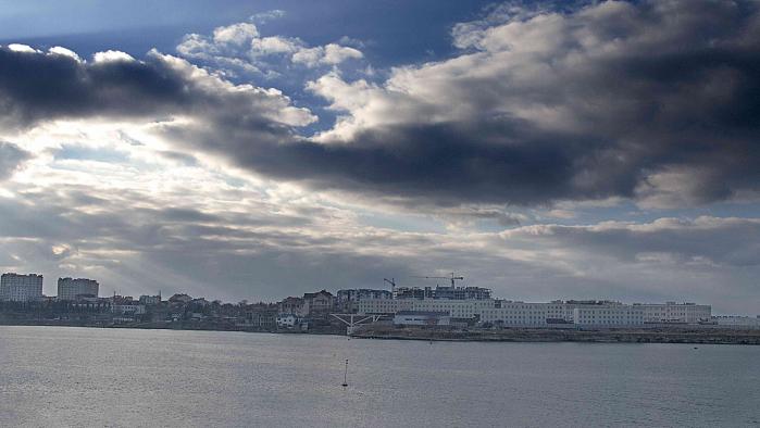
Streletskiy cape (Sevastopol)
Ukraine /
Sevastopol /
Sevastopol
World
/ Ukraine
/ Sevastopol
/ Sevastopol
, 7 km from center (Севастополь)
World / Ukraine / Sevastopol'
headland (geography), invisible
Nearby cities:
Coordinates: 44°36'37"N 33°28'1"E
- Strelka 0.5 km
- Remains of ancient roads and trenching 3.4 km
- Sevastopol Bay 3.7 km
- Radiogorka (Radiohill) 4.7 km
- Korabelna Storona ('Naval Side') 5 km
- North Side 6 km
- Kilen-Balka gully 6.9 km
- Panayotova gully 7.3 km
- Hollandiya 8 km
- Lyubimovka / Liubуmivka 10 km
- President's Cadet College 0.2 km
- Vessel traffic control center "Streletsky" 0.6 km
- DIning room of Naval Cadets 0.7 km
- 14th battery remnants 0.7 km
- Admiral Pavel Nakhimov the Order of the Red Star Black Sea Higher Naval School 0.8 km
- Main Laboratories of a Nakhimov's Marine College 0.9 km
- Helipad of the Navy Institute (Ministry of Defense) 1 km
- Naval Academy Stadium 1.1 km
- ulitsa Yefremova/vulytsia Yefremova, 38 1.3 km
- Solnechny (‘Sunny’) beach 1.4 km
President's Cadet College
Vessel traffic control center "Streletsky"
DIning room of Naval Cadets
14th battery remnants
Admiral Pavel Nakhimov the Order of the Red Star Black Sea Higher Naval School
Main Laboratories of a Nakhimov's Marine College
Helipad of the Navy Institute (Ministry of Defense)
Naval Academy Stadium
ulitsa Yefremova/vulytsia Yefremova, 38
Solnechny (‘Sunny’) beach