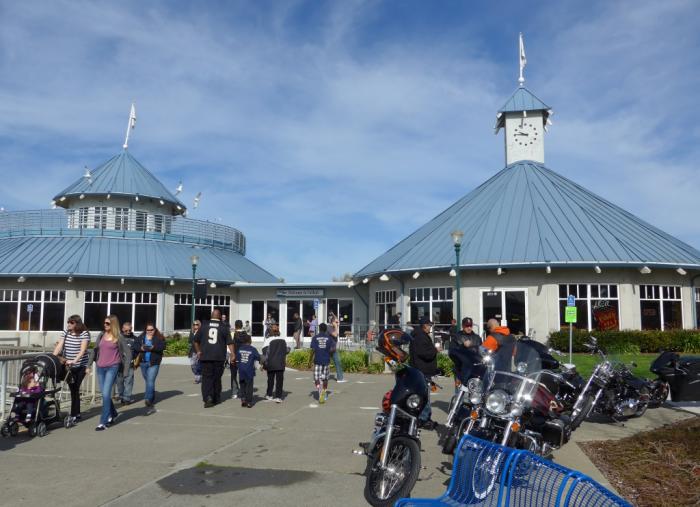
Vallejo Baylink Ferry Terminal (Vallejo, California)
USA /
California /
Vallejo /
Vallejo, California
World
/ USA
/ California
/ Vallejo
World / United States / California
ferry terminal
Add category


Wikipedia article: http://en.wikipedia.org/wiki/Vallejo_Ferry_Terminal
Nearby cities:
Coordinates: 38°6'0"N 122°15'46"W
- World Cruise Center 603 km
- Plante's Ferry Park 1144 km
- Melanie Bay and Ferry Dock 1172 km
- BC Ferries Swartz Bay Terminal 1182 km
- Tsawwassen Ferry Terminal 1217 km
- Departure Bay Ferry Terminal 1243 km
- Horseshoe Bay 1258 km
- Horseshoe Bay Ferry Terminal 1258 km
- Kootenay Lake Ferry 1356 km
- Riverhurst Ferry 1867 km
- Former Mare Island Naval Shipyard 0.9 km
- Vallejo Municipal Marina 1.1 km
- Touro University, California Mare Island Campus 1.4 km
- Vallejo Heights Neighborhood 1.7 km
- Mare Island Golf Course 2.2 km
- Knight's Airport/Stan's Airpark, Vallejo, CA (site) 3.3 km
- Knight Island 5.6 km
- Carquinez Strait 8.2 km
- Island Number One 8.4 km
- San Pablo Bay 12 km