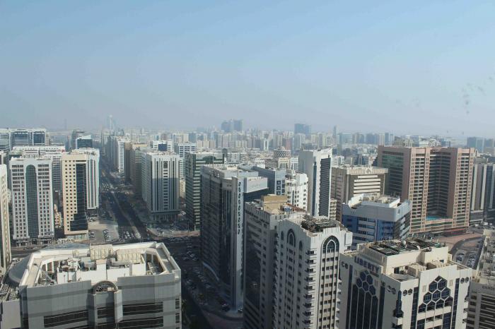
Fatima Bint Mubarak street (6th Street) (Abu Dhabi)
Previously commonly named Najda Street. It was given this name because the main Abu Dhabi Fire Station lied on this road. A literal translation of Najda would be "Rescue".
Fatima Bint Mubarak street (6th Street), related objects
Nearby cities:
Coordinates: 24°29'16"N 54°22'18"E
- Sector 34, Zone 1 0.4 km
- Municipality Quarter / Madinat Zayed 0.6 km
- Madinat Zayed Shopping Center 0.8 km
- Al Markaziyah 0.9 km
- Sector 35, Zone1 1.1 km
- Al Dhafrah 1.1 km
- Sector 15, Zone1 1.5 km
- Al Manhal Palace Area 2.1 km
- Al-Manhal Area 2.1 km
- Lulu Island 3 km
- Al Falah street (9th street) 1 km
- Khalifa Street (3rd street) 1.2 km
- Al Falah Street (9th street) 1.5 km
- Najda Street (6th Street) 1.5 km
- Corniche Road (1st street) 2.2 km
- Hamdan Bin Mohammed street (5th Street) 2.4 km
- Delma street (13th street) 3.1 km
- Al Manhal Street 3.6 km
- Sultan Bin Zayed The First street (4th street) 4.8 km
- Corniche Road (1st street)_ 5.2 km