Centenary Way (Nuneaton)

Centenary Way was laid out to celebrate one hundred years of Warwickshire County Council. It passes the Tame Valley, Atherstone Ridge, the George Eliot country around Nuneaton, before passing to the east of Coventry to Kenilworth, Warwick and Leamington Spa. From here it heads to the Burton Dassett Hills, Edge Hill, Shipston-on-Stour and Ilmington Downs.
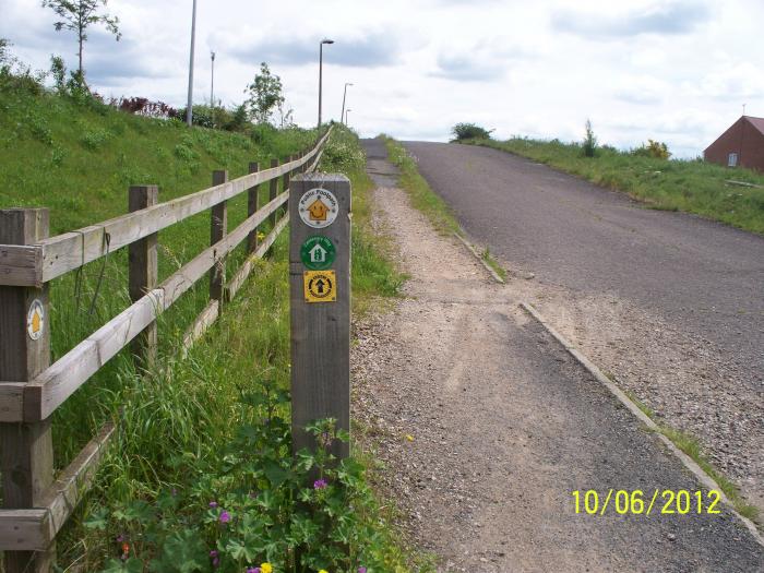
This stretch of Centenary Way passes through the Bermuda area of Nuneaton.
This stretch of Centenary Way passes through the Bermuda area of Nuneaton.
Centenary Way, related objects
Nearby cities:
Coordinates: 52°30'27"N 1°28'38"W
- Eliot Park 0.2 km
- Hazell Way Industrial Estate 0.5 km
- Bermuda Park Residential Estate 0.5 km
- Bermuda Industrial Estate 0.5 km
- Green Space 0.6 km
- Hill Top 0.9 km
- RS Components - Premises 0.9 km
- Wem Brook 1 km
- Bermuda Park 1 km
- Arbury 2.5 km
- Coton Arches Roundabout 1 km
- A444 Coton Road 1.3 km
- Edward Street 1.3 km
- Princes Street 1.5 km
- B4102 Queens Road 1.6 km
- A444 Jubilee Way 1.6 km
- Manor Court Road 1.9 km
- Bond Street 2.1 km
- A47 The Long Shoot 4.3 km
- Ashby Road 21 km