SR 2 Angeles Crest Highway
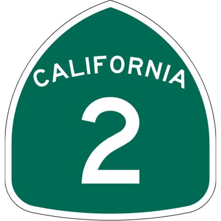
State Route 2 (SR 2) is a state highway in the U.S. state of California. It runs from the junction of Lincoln Blvd and Interstate 10 in Santa Monica to SR 138 east of Wrightwood.
SR 2 Angeles Crest Highway, related objects
Wikipedia article: http://en.wikipedia.org/wiki/California_State_Route_2
Nearby cities:
Coordinates: 34°20'37"N 117°54'34"W
- Mount Waterman Ski Lifts 1.9 km
- Devil's Punchbowl Natural Area 10 km
- Angeles National Forest 12 km
- Pearblossom, California 17 km
- Pearblossom Pumping Plant 19 km
- Littlerock, California 21 km
- Lake Palmdale 30 km
- Lake Los Angeles, California 31 km
- San Andreas Fault Zone (approximate) 62 km
- San Andreas Fault (Zone) 65 km
- Devil's Punchbowl Road 10 km
- SR 39 San Gabriel Canyon Road 11 km
- Upper Big Tujunga Canyon Road 14 km
- Pearblossom Highway 21 km
- 90th Street East 27 km
- 47th Street East 28 km
- East Avenue S 28 km
- 170th Street East 31 km
- 20th Street East 31 km
- SR 14 Antelope Valley Freeway 41 km