Lincoln Park (Chicago, Illinois)
USA /
Illinois /
Chicago /
Chicago, Illinois
World
/ USA
/ Illinois
/ Chicago
World / United States / Illinois
community, neighbourhood, draw only border
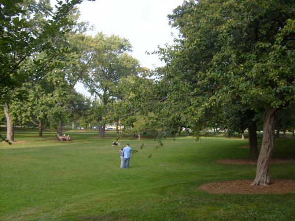
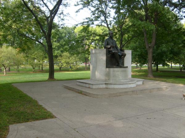
Lincoln Park, is one of the 77 Community areas of Chicago, USA, situated on its north side. Named after Lincoln Park, a vast park bordering Lake Michigan, Lincoln Park is bordered by the community areas of Lakeview to the north, North Center to the northwest, Logan Square to the west, West Town to the southwest, and Near North to the south.
The area now known as Lincoln Park in Chicago was primarily forest with stretches of grassland and occasional quicksand until the late 1820s when the Europeans arrived.
In 1824 the United States Army built a small post near today's Clybourn Avenue and Armitage Avenue (formerly Centre Street). Indian settlements existed along Green Bay Trail, now called Clark Street (named after George Rogers Clark), at the current intersection of Halsted Street and Fullerton Avenue. Before Green Bay Trail became Clark Street, it stretched as far as Green Bay, Wisconsin, and was part of what still is Green Bay Avenue in Milwaukee County, Wisconsin.[3][4]
In 1836, land from North to Fullerton and from the lake to Halsted was relatively inexpensive, costing $150 per acre ($370 ha) / 1836 prices, not adjusted for inflation). Because the area was considered remote, a small pox hospital and the city cemetery were located in Lincoln Park until the 1860s.
In 1837, Chicago was incorporated as a city, and North Avenue (to the south of today's Lincoln Park neighborhood) was established as its northern boundary. Settlements increased along Green Bay Trail when (1) the government offered land claims and (2) Green Bay Road was widened. The area north of Chicago, including today's Lincoln Park, was eventually incorporated as Lake View Township. The city, nonetheless, owned extensive tracts of land north of North Avenue, including what is the now the park. The Township was annexed to Chicago in 1889.
From 1896 to 1903, the original Ferris Wheel was located at a small amusement park near Clark and Wrightwood. The site was from 2619 to 2665 N. Clark, which is now the location of a McDonald's and a high-rise residential building. The Biograph Theater on Lincoln avenue and (adjoining businesses) in 2008 redressed to appear as it did in 1934 for the film Public Enemies.
In 1968 a violent confrontation between demonstrators and police in Lincoln Park was avoided during the week of the 1968 Democratic National Convention. "I pointed out that it was in the best interests of the City to have us in Lincoln Park ten miles away from the Convention hall. I said we had no intention of marching on the Convention hall, that I didn't particularly think that politics in America could be changed by marches and rallies, that what we were presenting was an alternative life style, and we hoped that people of Chicago would come up, and mingle in Lincoln Park and see what we were about."
In the period following the Civil War, the area around around Southport and Clybourn became home to a community of Kashubian immigrants. Arriving from what is now north-western Poland, Chicago's Kashubians brought their own distinct culture and language, influenced by their rustic traditions and by their close contact with their German neighbors.
In 1882, St. Josaphat's Roman Catholic parish was established specifically for the Kashubian community. The resulting nickname of "Jozafatowo" (Polish for "Josaphat's Town") made the neighborhood one of Chicago's Polish Patches. The current Romanesque Revival church building was completed in 1902.
In the 1950s, 1960s and 1970s, Lincoln Park became home to the first Puerto Rican immigrants to Chicago. Jose Cha Cha Jimenez transformed the local Young Lords gang into human rights activists for Latinos and the poor. They mounted sit-ins and takeovers of institutions and churches at Grant Hospital, Armitage Ave. Methodist Church, and McCormick Theological Seminary.
Today, a very small number of Puerto Ricans reside in Lincoln Park. The neighborhood population is primarily made up of young urban professionals, recent college graduates, and young families.
Wikipedia article: http://en.wikipedia.org/wiki/Lincoln_Park,_Chicago
Nearby cities:
Coordinates: 41°55'18"N 87°39'5"W
- Austin 13 km
- Forest Glen 16 km
- Garfield Ridge 17 km
- Norwood Park 18 km
- Roseland 21 km
- South Deering 22 km
- Hegewisch 26 km
- Robertsdale (neighborhood) 26 km
- Black Oak (neighborhood) 43 km
- University Park (neighborhood) 46 km
- DePaul University - Lincoln Park Campus 0.3 km
- Seminary Townhouse Association 0.3 km
- Jonquil Park 0.8 km
- Former A .Finkl & Sons Steel Mill 1 km
- Edith Spurlock Sampson Apartments 1 km
- Webster Place 1.1 km
- Ozinga Ready Mix 1.3 km
- Wrightwood Park 1.5 km
- I-90/94 IL Exit 48A: Armitage Avenue 1.7 km
- Cook County, Illinois 23 km