Geodetic Survey Squadron (Site) (WY, USA)
USA /
Wyoming /
South Greeley /
World
/ USA
/ Wyoming
/ South Greeley
World / United States / Wyoming
military, headquarters, survey
This was the location of Buildings 833 & 834. These were the home of the 1st Geodetic Survey Squadron (MAC) which became the Geodetic Survey Squadron under the Defense Mapping Agency. If you were a geodetic surveyor in the US Air Force you most likely spent some time here.
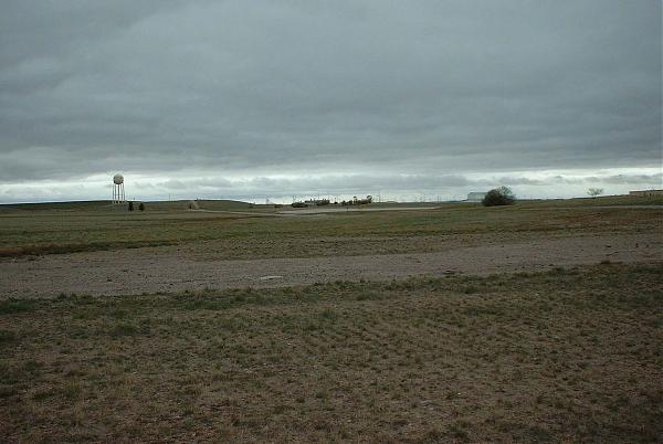
The buildings had gravity labs and administrative offices. They were not pretty, but they were home!
www.geocities.com/harlyd13/gss/history/gsshistory.html
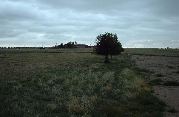
The buildings had gravity labs and administrative offices. They were not pretty, but they were home!
www.geocities.com/harlyd13/gss/history/gsshistory.html
Nearby cities:
Coordinates: 41°8'31"N 104°52'0"W
- Francis E. Warren Air Force Base (FEW/KFEW) 6.8 km
- Deactivated Atlas D ICBM Launch Complex (565-C) 25 km
- Deactivated Atlas D ICBM Launch Complex (564-A & B) 29 km
- Deactivated Atlas D ICBM Launch Complex (565-A) 34 km
- Papa Flight 47 km
- Alpha Flight 51 km
- Quebec Flight 71 km
- Romeo Flight 76 km
- Sierra Flight 103 km
- Tango Flight 109 km
- Warren Golf Course 2.4 km
- Cheyenne Country Club 2.8 km
- Walmart Distribution Center 3.6 km
- Airport Golf Club 3.7 km
- Lions Park 3.7 km
- Microsoft Cheyenne Data Center 3.8 km
- UP Cheyenne Yard 4.8 km
- Cheyenne Regional Airport (CYS/KCYS) / Jerry Olson Field 5.3 km
- Ranchettes, Wyoming 11 km
- Cheyenne Rifle and Pistol Club 12 km
Comments