Quezon City Hall (Quezon City)
Philippines /
Southern Tagalog /
Malanday /
Quezon City /
Elliptical Road (N170/R-7)
World
/ Philippines
/ Southern Tagalog
/ Malanday
World / Philippines / Metropolitan Manila / Quezon City
office building, city hall


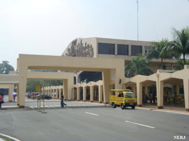
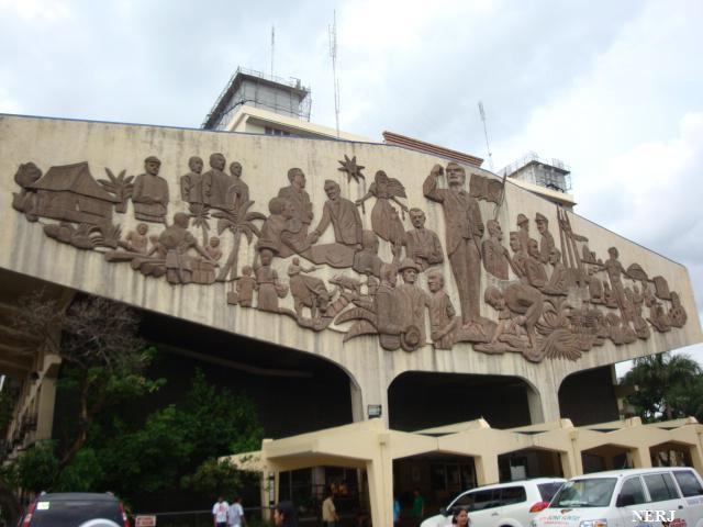
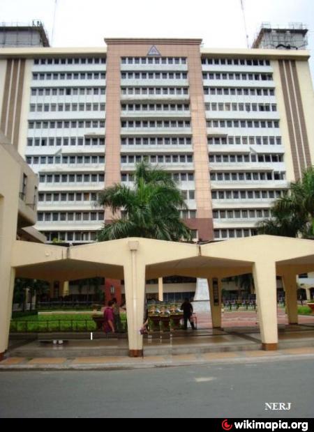
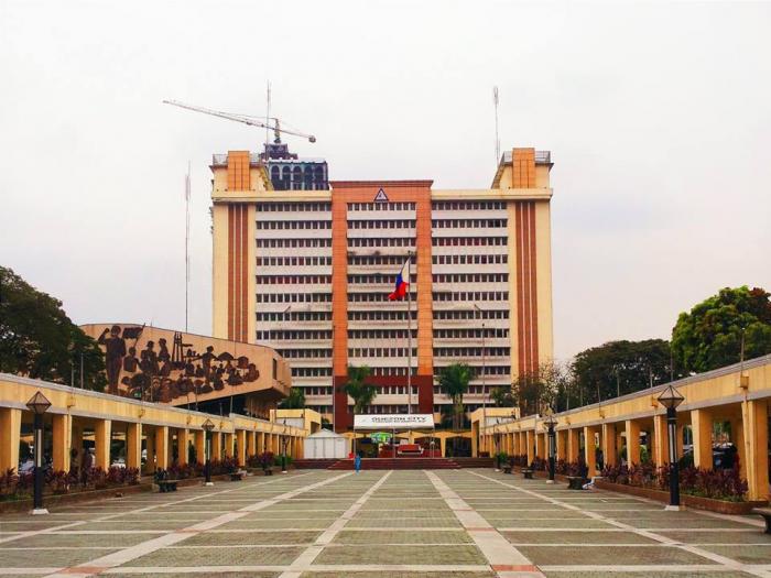
The Quezon City Hall is a government building which houses the office of the Mayor of Quezon City located along the Elliptical Road. The Quezon City Council is housed within the adjacent Legislative Wing.
The first location of the city hall was at the corner of Aurora Boulevard and EDSA, beside Cubao Elementary School. It was then transferred within the grounds now occupied by the Ramon Magsaysay (Cubao) High School sometime in the 1950s during the administration of then Acting Mayor Ponciano Bernardo, who was an engineer appointed to the political post by then President Manuel Roxas.
The first location of the city hall was at the corner of Aurora Boulevard and EDSA, beside Cubao Elementary School. It was then transferred within the grounds now occupied by the Ramon Magsaysay (Cubao) High School sometime in the 1950s during the administration of then Acting Mayor Ponciano Bernardo, who was an engineer appointed to the political post by then President Manuel Roxas.
Wikipedia article: https://en.wikipedia.org/wiki/Quezon_City_Hall
Nearby cities:
Coordinates: 14°38'47"N 121°3'0"E
- (Napocor)- National Power Corporation Building 1 km
- Camp General Tomas B. Karingal (Philippine National Police - Quezon City Police District Headquarters) 1.5 km
- Activa 2.5 km
- Quezon City Executive House (Office of the Vice President) 3.1 km
- Camp Aguinaldo 3.6 km
- Camp Crame 4 km
- Philippine National Police- General Headquarters 4.1 km
- AFP General Headquarters (GHQ) 4.4 km
- RSPRO Enterprises 4.6 km
- Civil Relations Service, Armed Forces of the Philippines - 4.7 km
- Quezon City Hall Complex 0.1 km
- Lung Center of the Philippines 0.5 km
- National Government Center 0.6 km
- Philippine Atmospheric, Geophysical and Astronomical Services Administration (PAGASA) 0.7 km
- East Triangle 0.9 km
- Triangle Park 1.1 km
- University of the Philippines Diliman 1.2 km
- Armed Forces of the Philippines Medical Center (AFPMC) (V. Luna General Hospital) 1.3 km
- Diliman 1.9 km
- Project 2 1.9 km
Quezon City Hall Complex
Lung Center of the Philippines
National Government Center
Philippine Atmospheric, Geophysical and Astronomical Services Administration (PAGASA)
East Triangle
Triangle Park
University of the Philippines Diliman
Armed Forces of the Philippines Medical Center (AFPMC) (V. Luna General Hospital)
Diliman
Project 2